WHAT WE DO
We are a team of surveying and geomatics professional engineers and our numerous clients have come to trust us with their specialized needs in land technical surveying, photogrammetry, remote sensing and digital mapping. Surverial provides a wide range of aerial surveys, photogrammetry and digital mapping services to clients

WHO WE WORK FOR
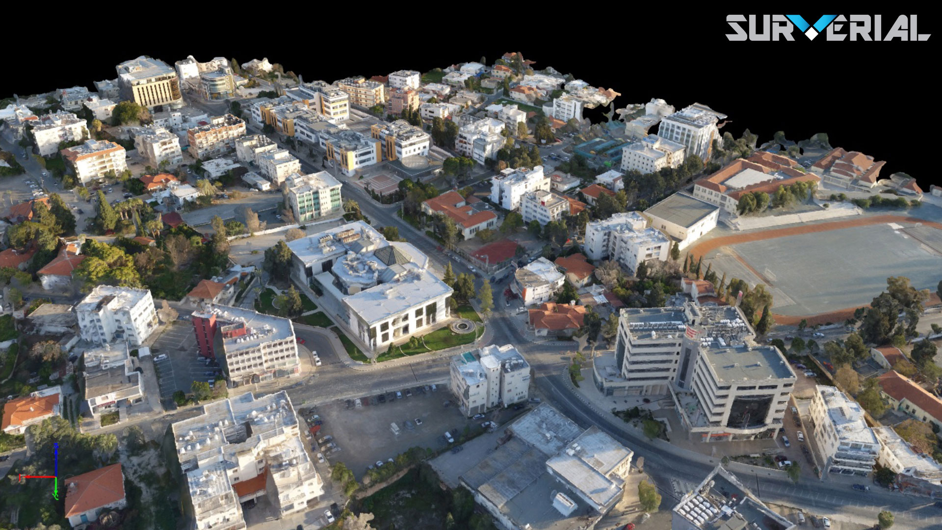
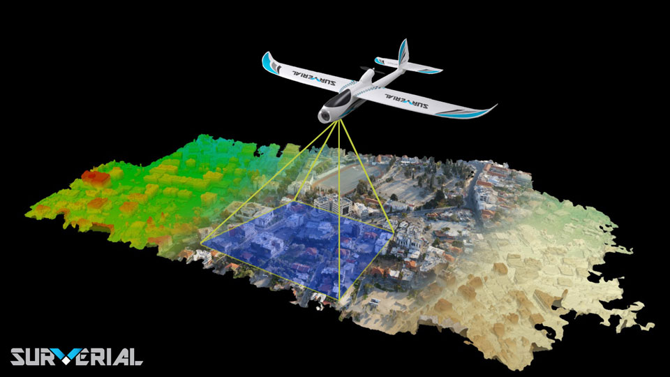
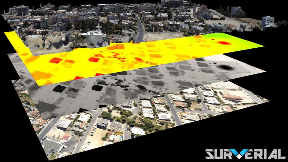
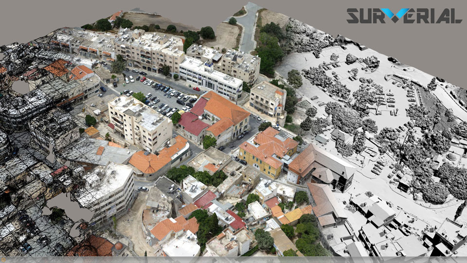
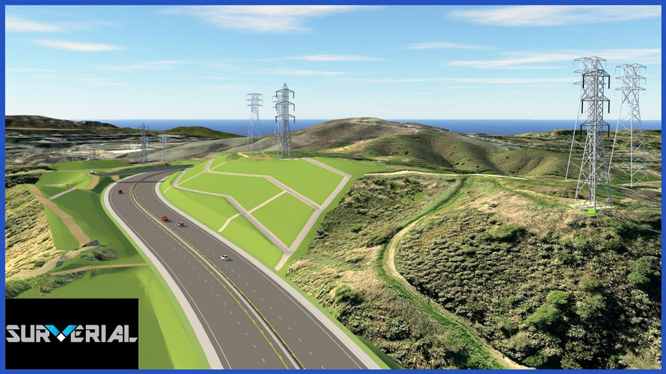
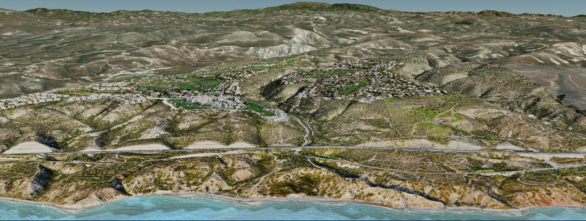
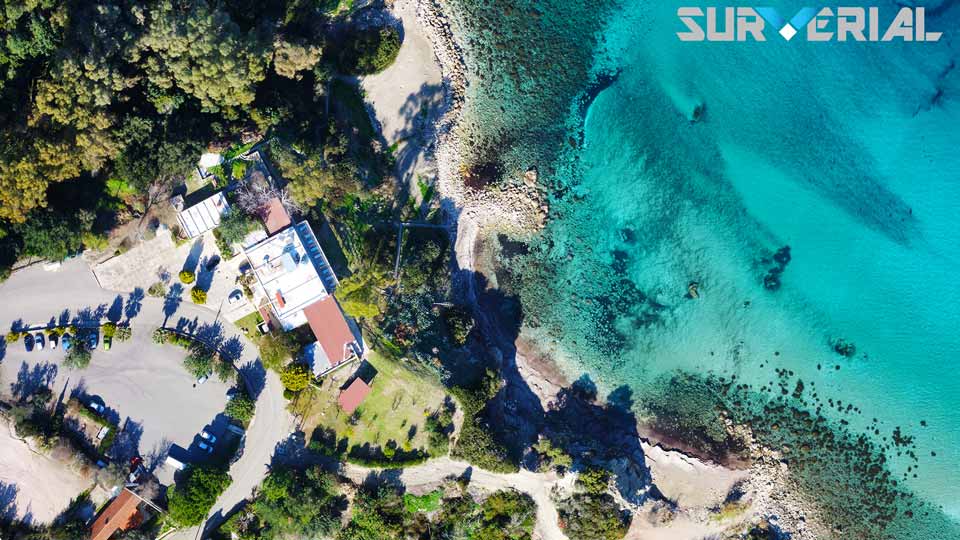
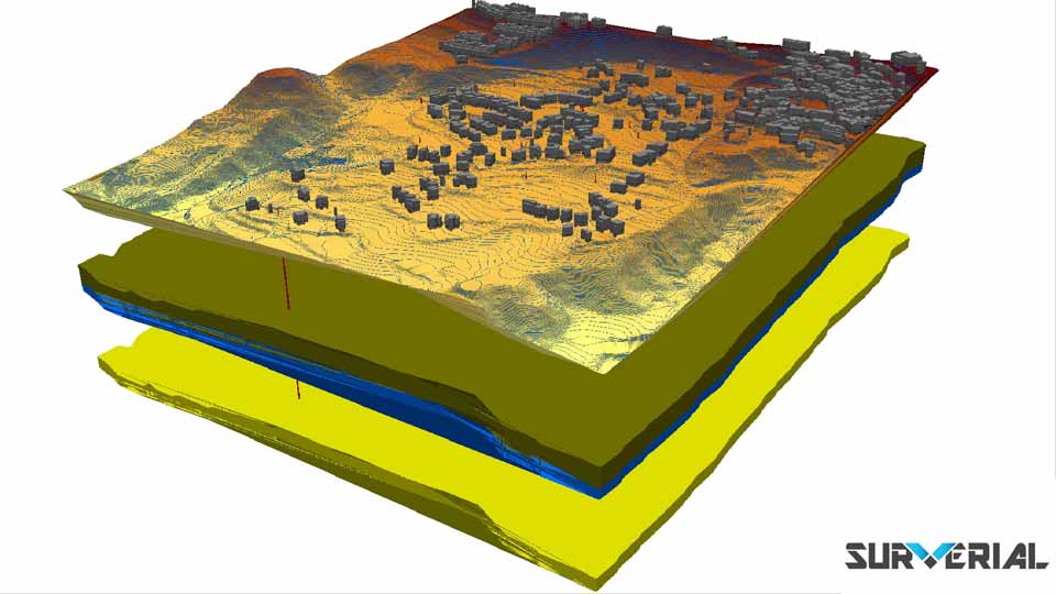
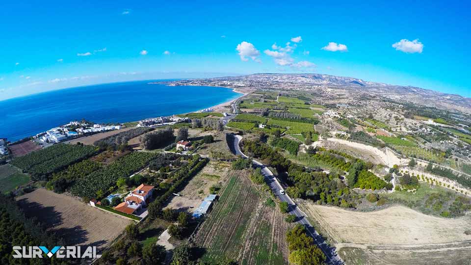
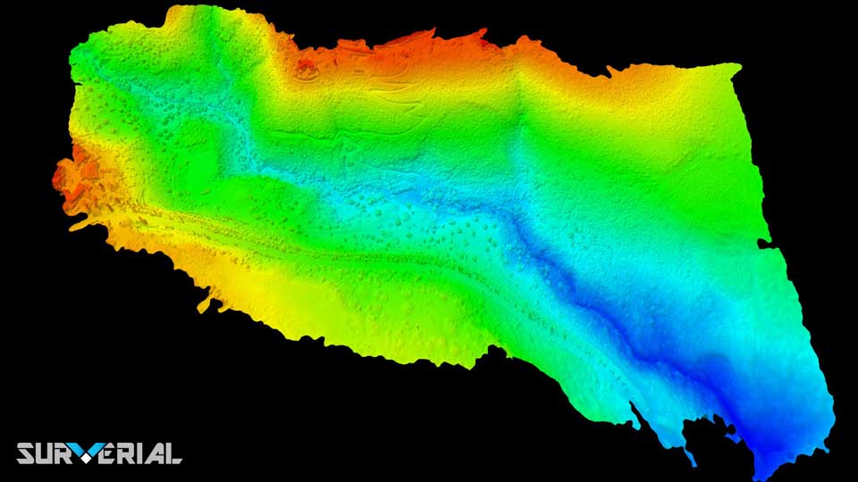
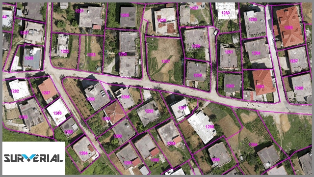
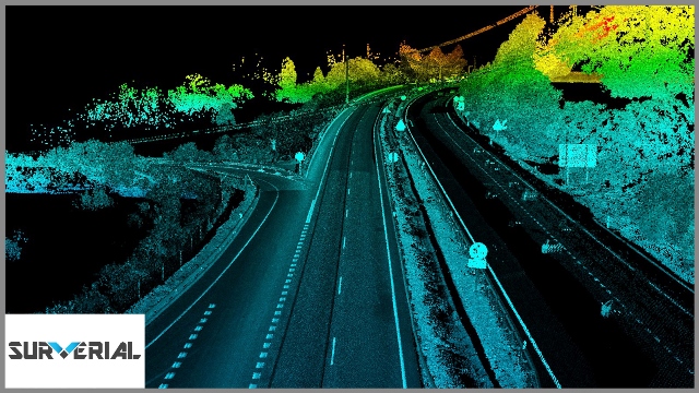
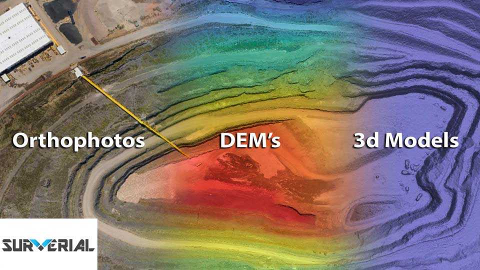
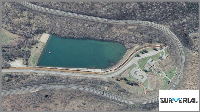
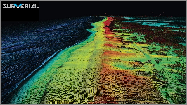
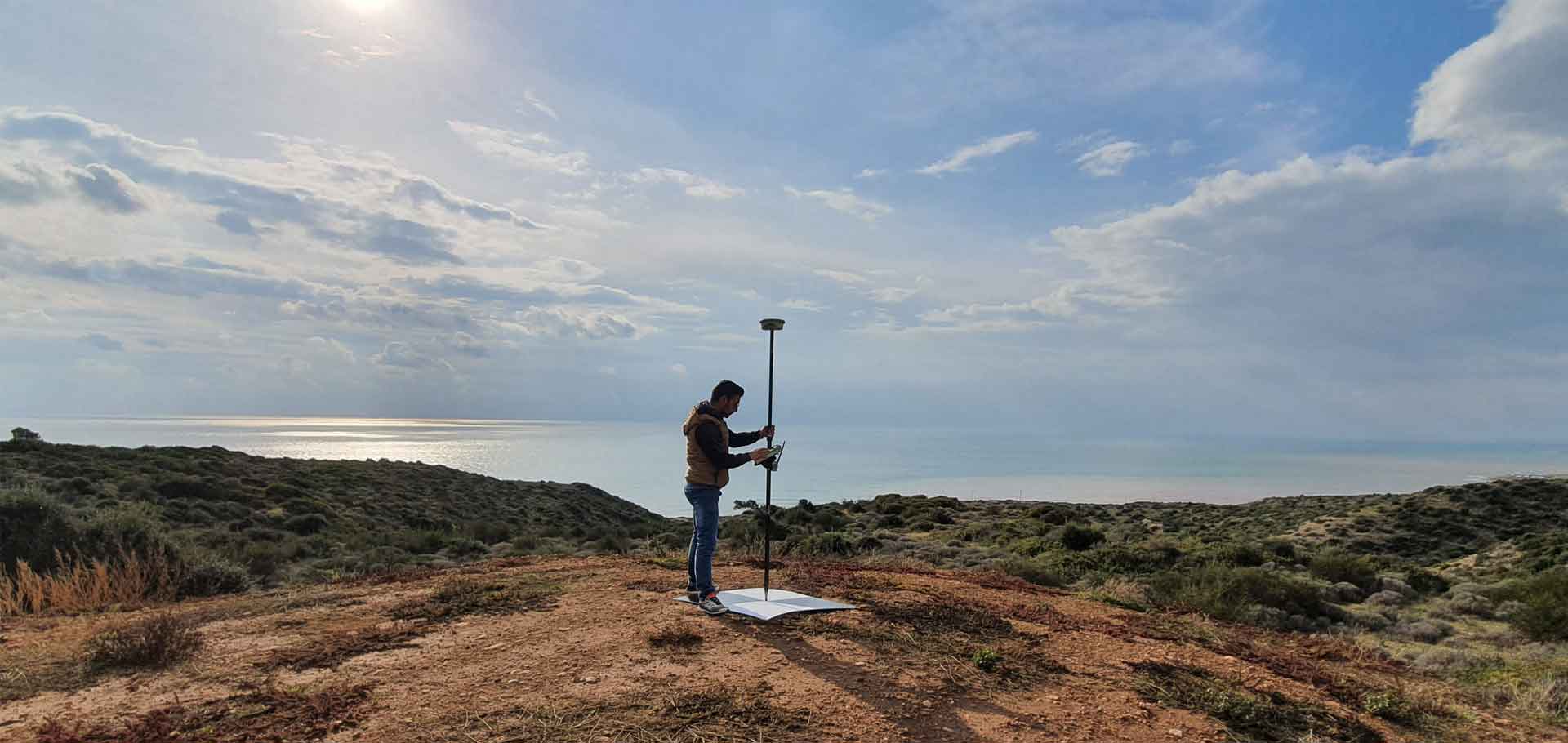
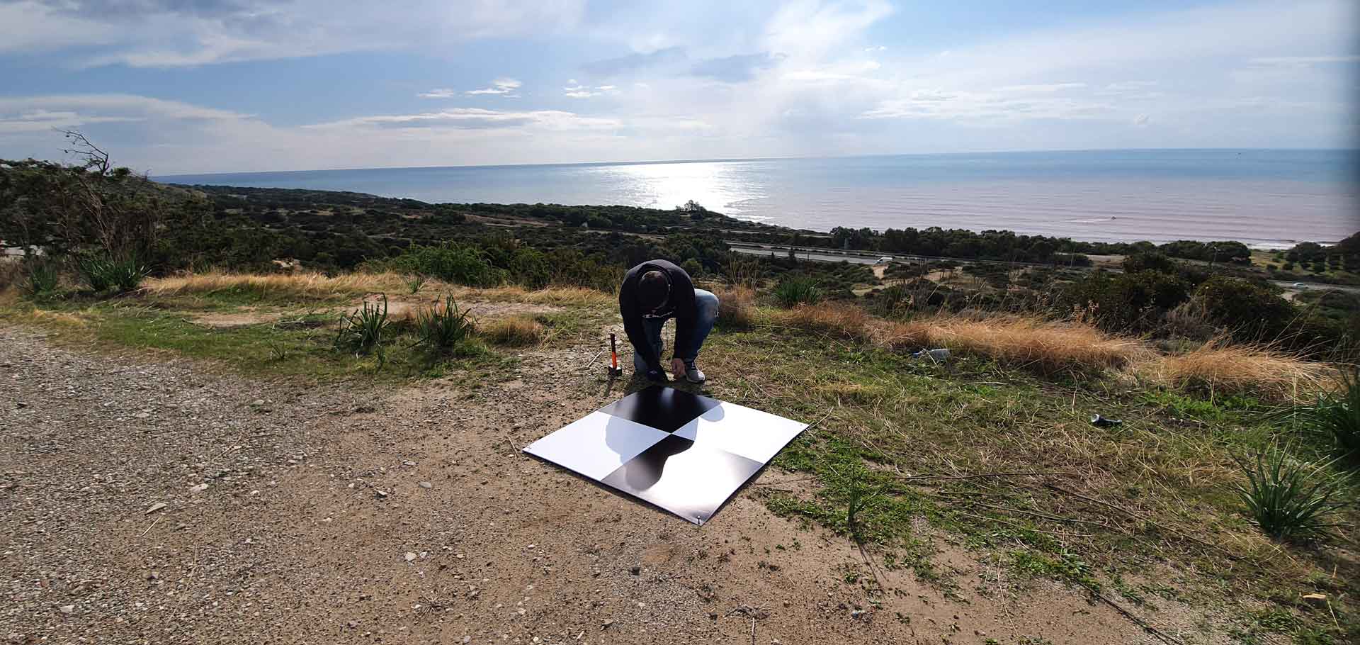
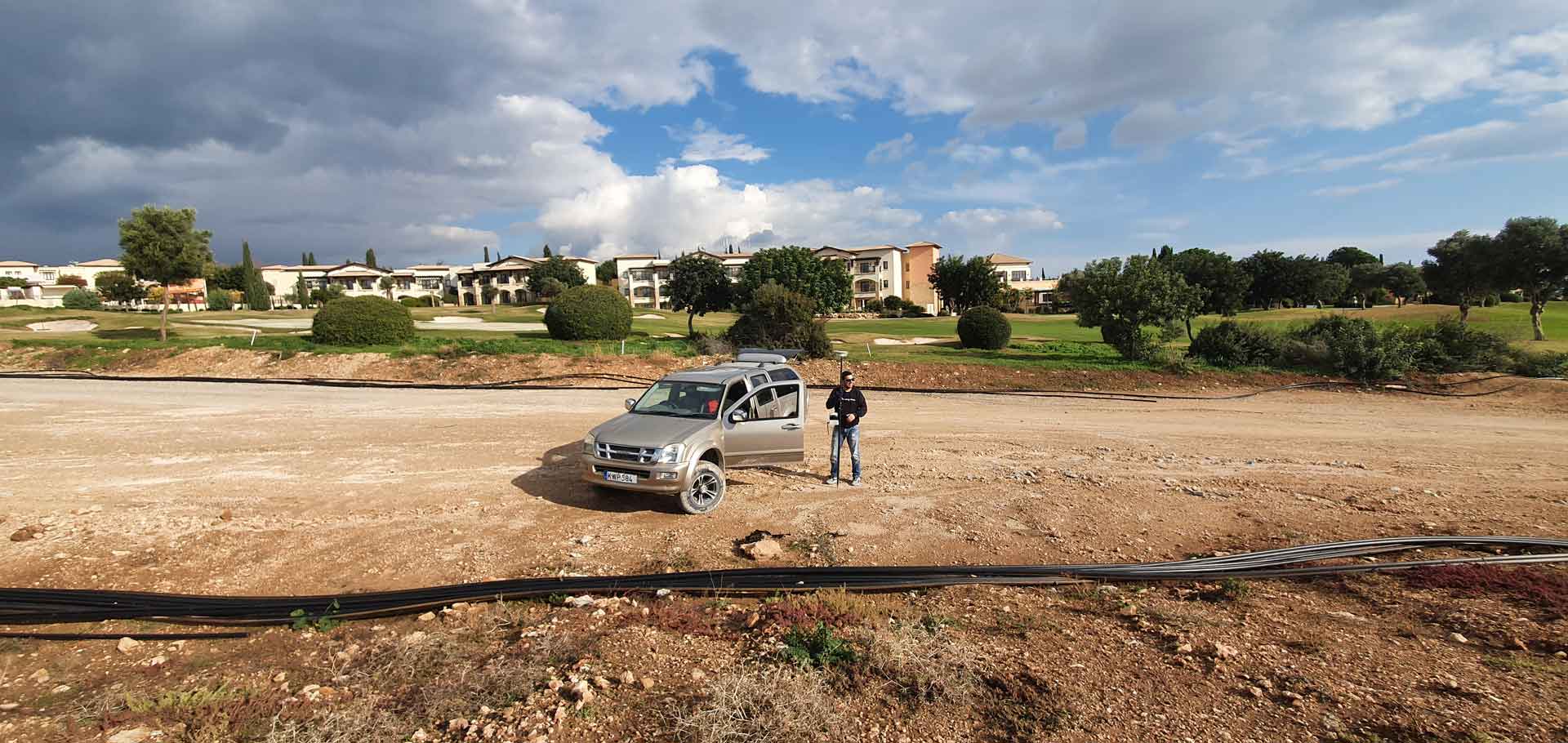
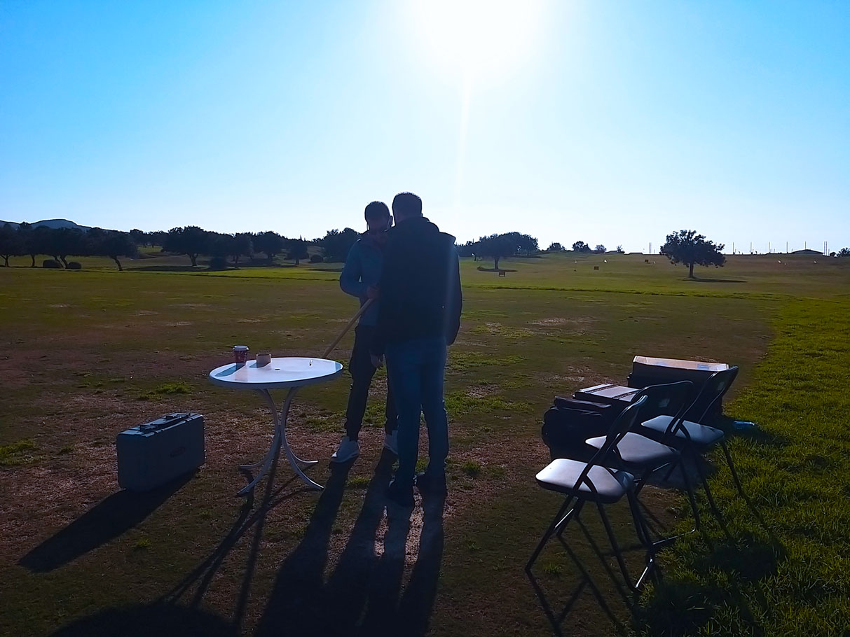
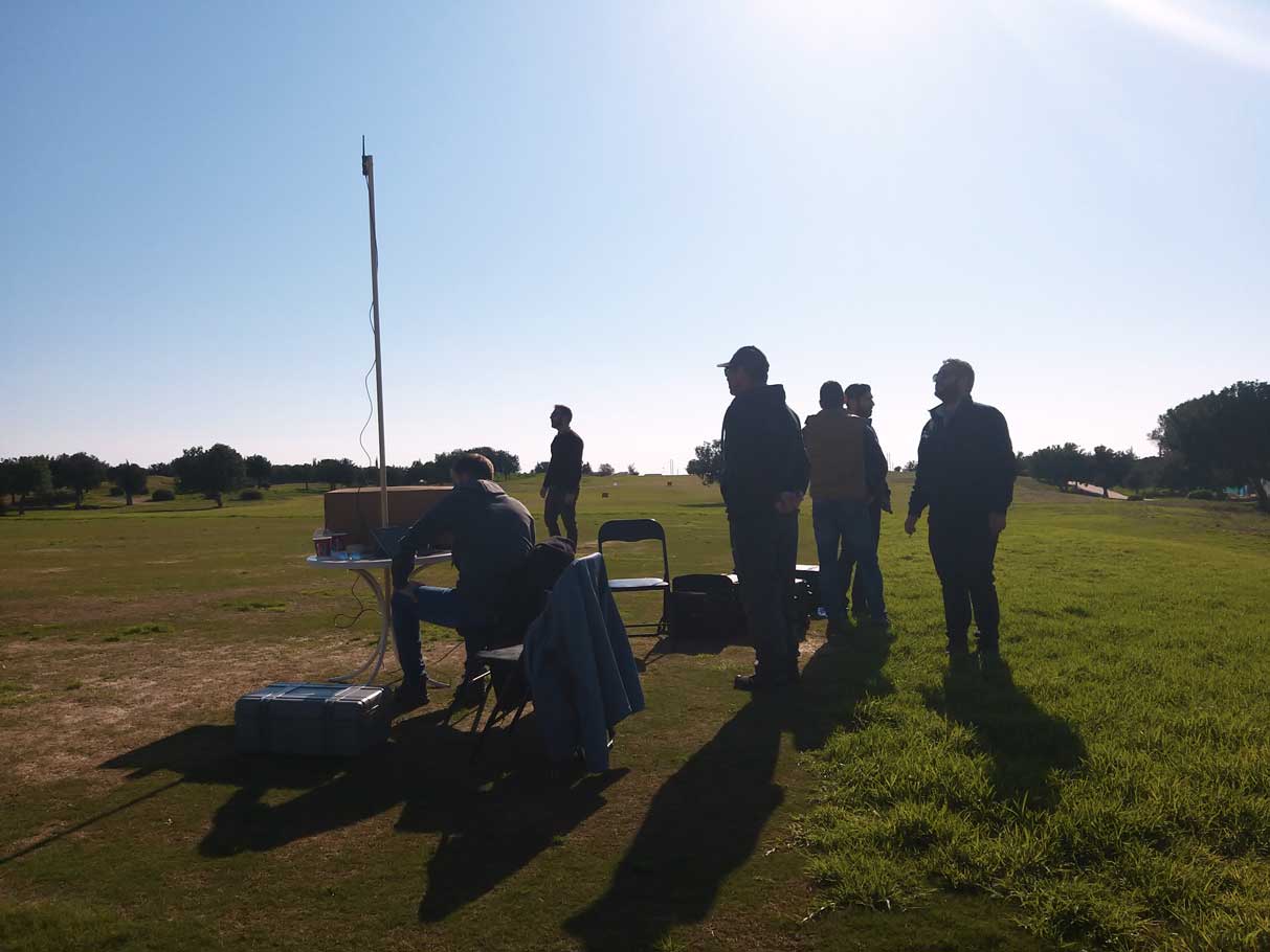
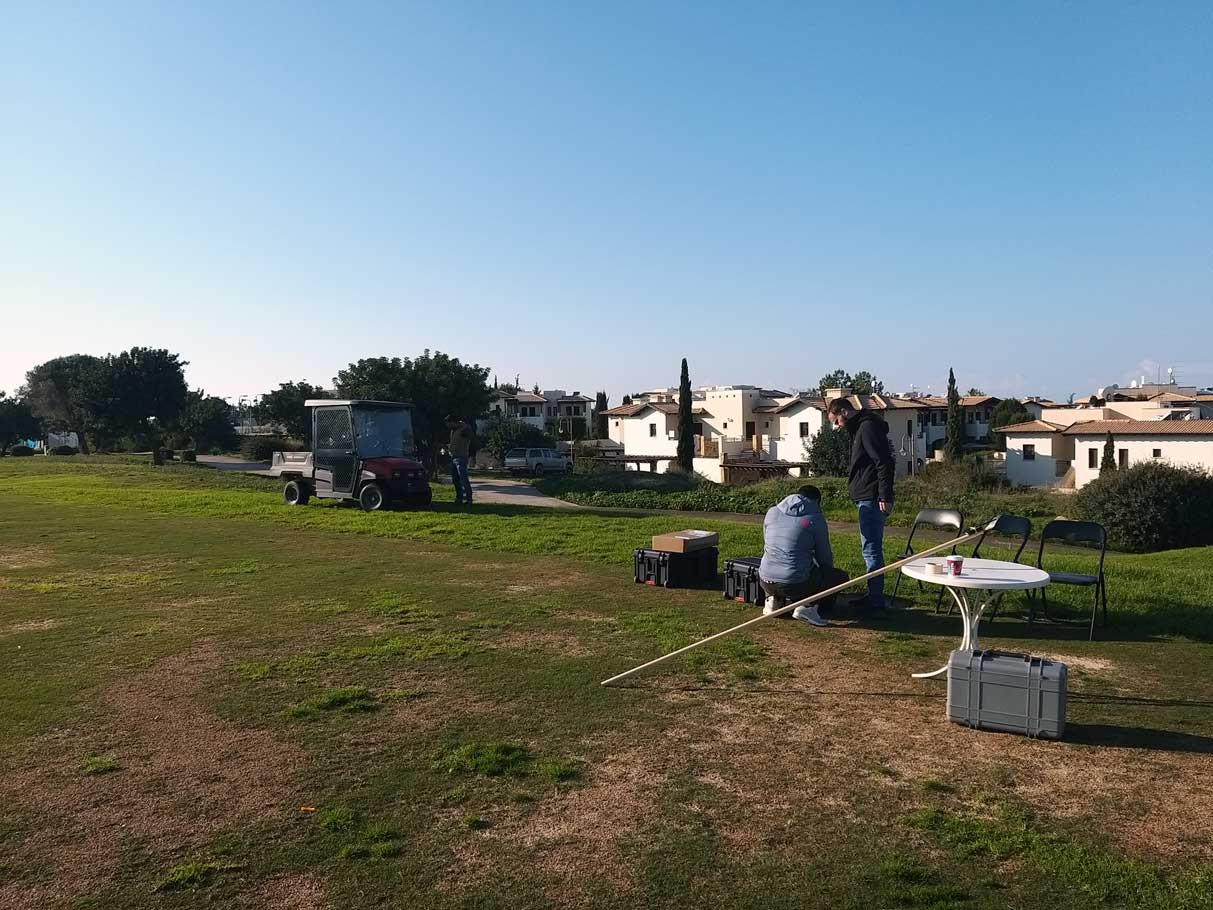
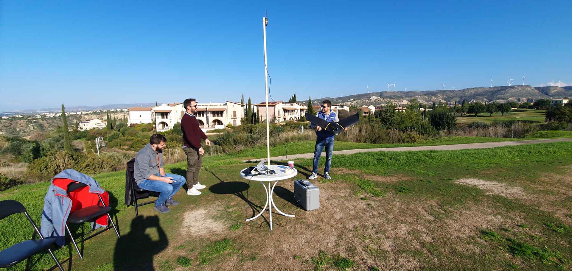
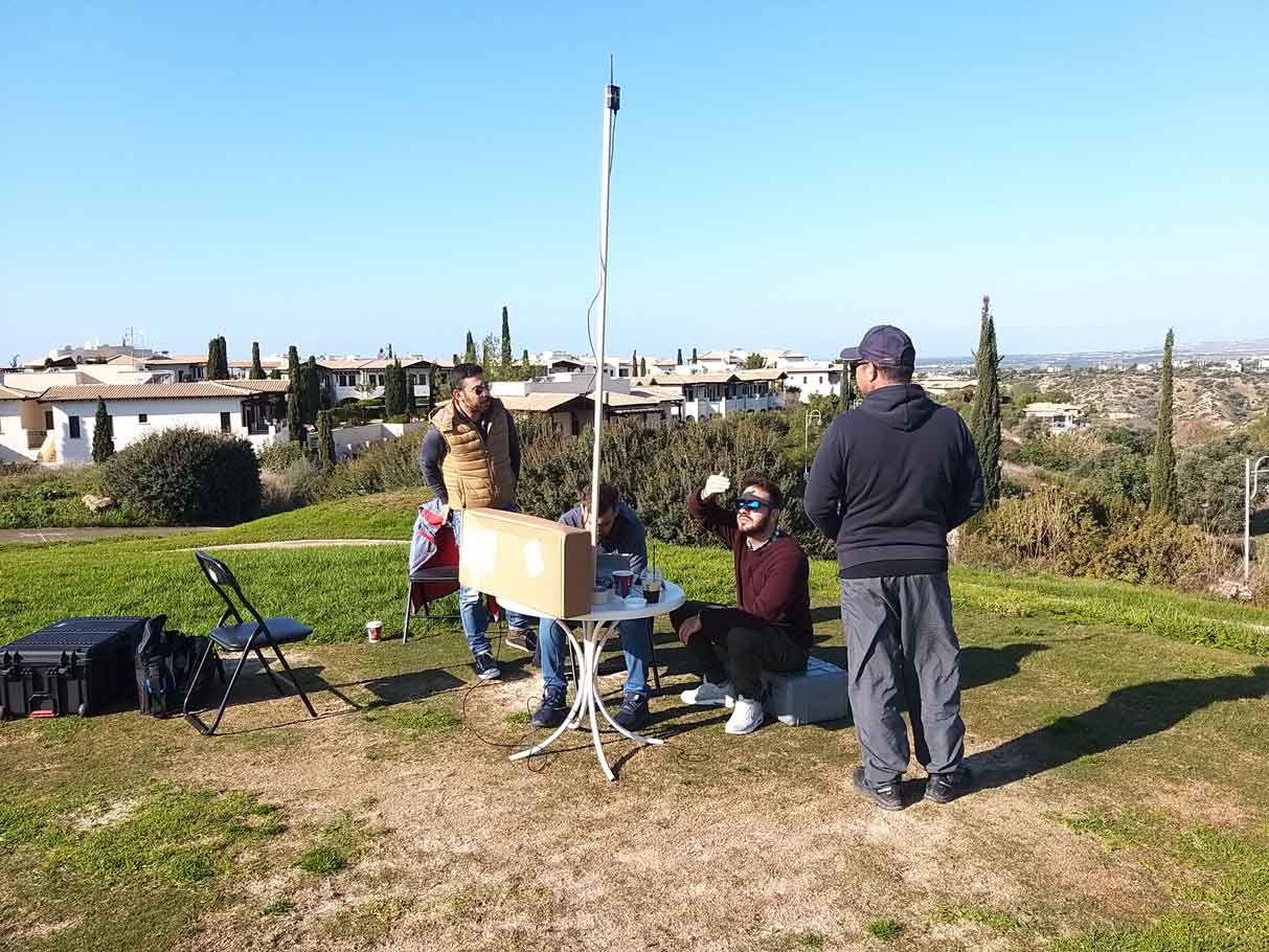
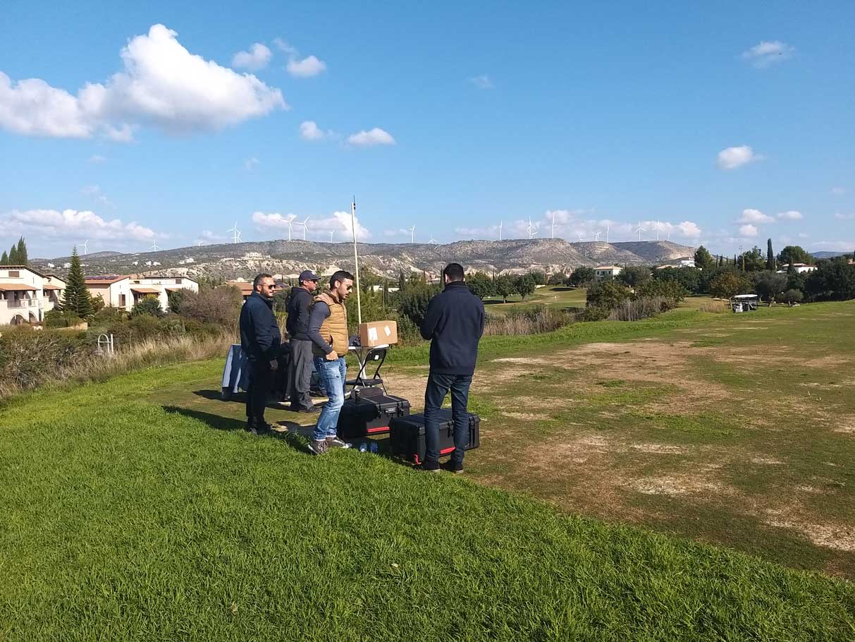
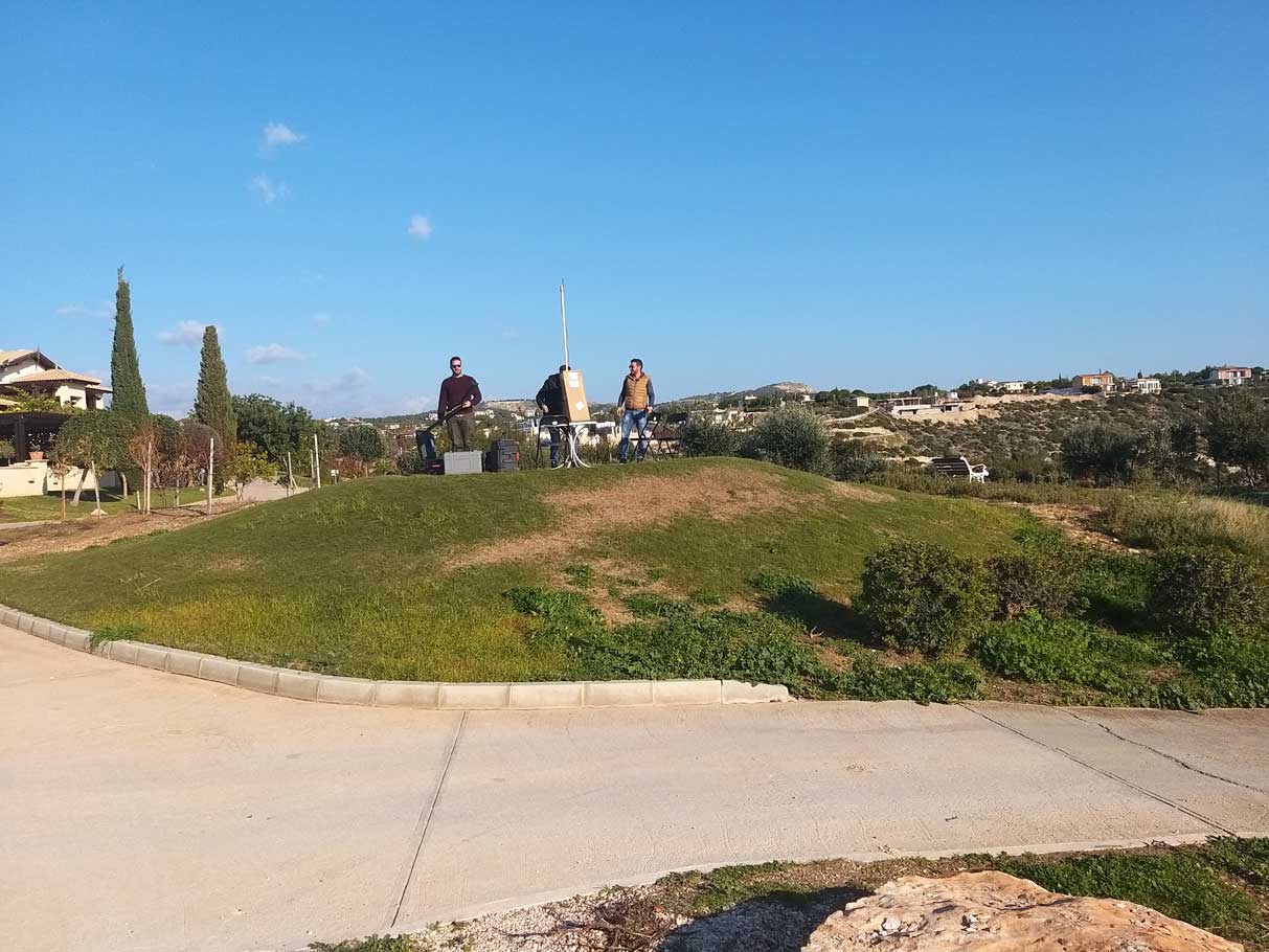
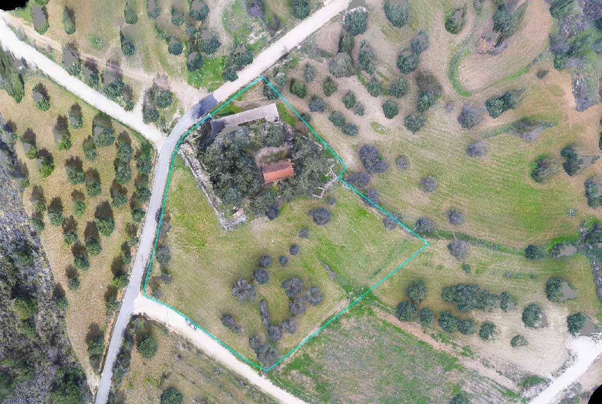
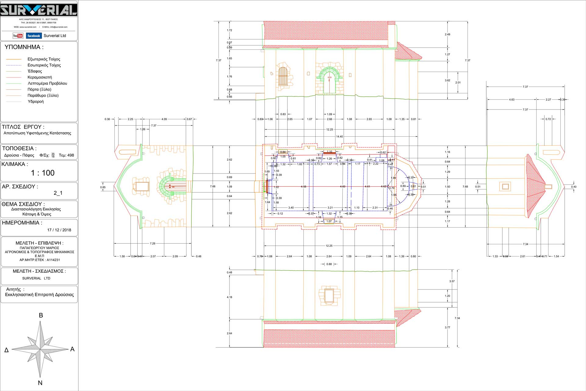
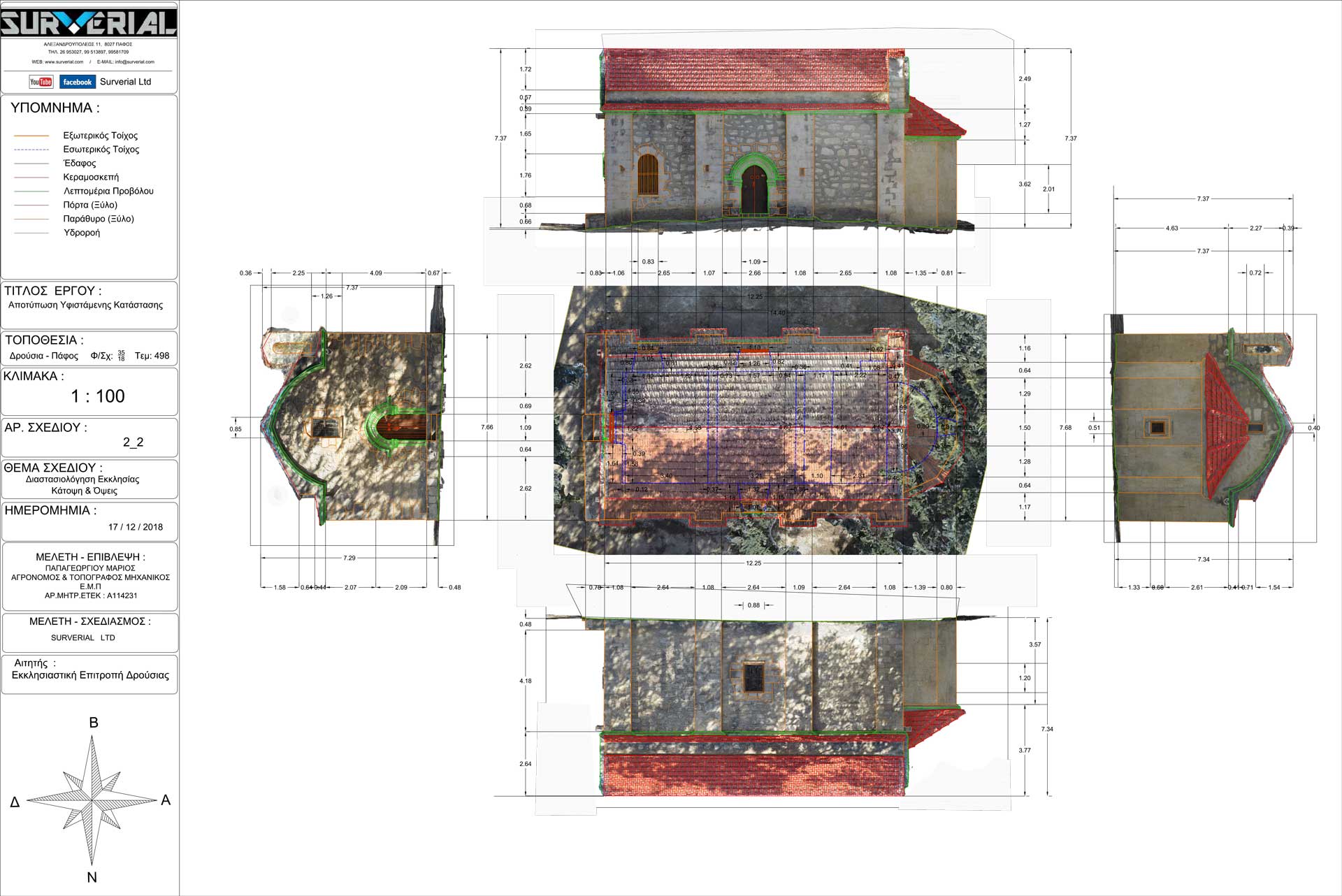
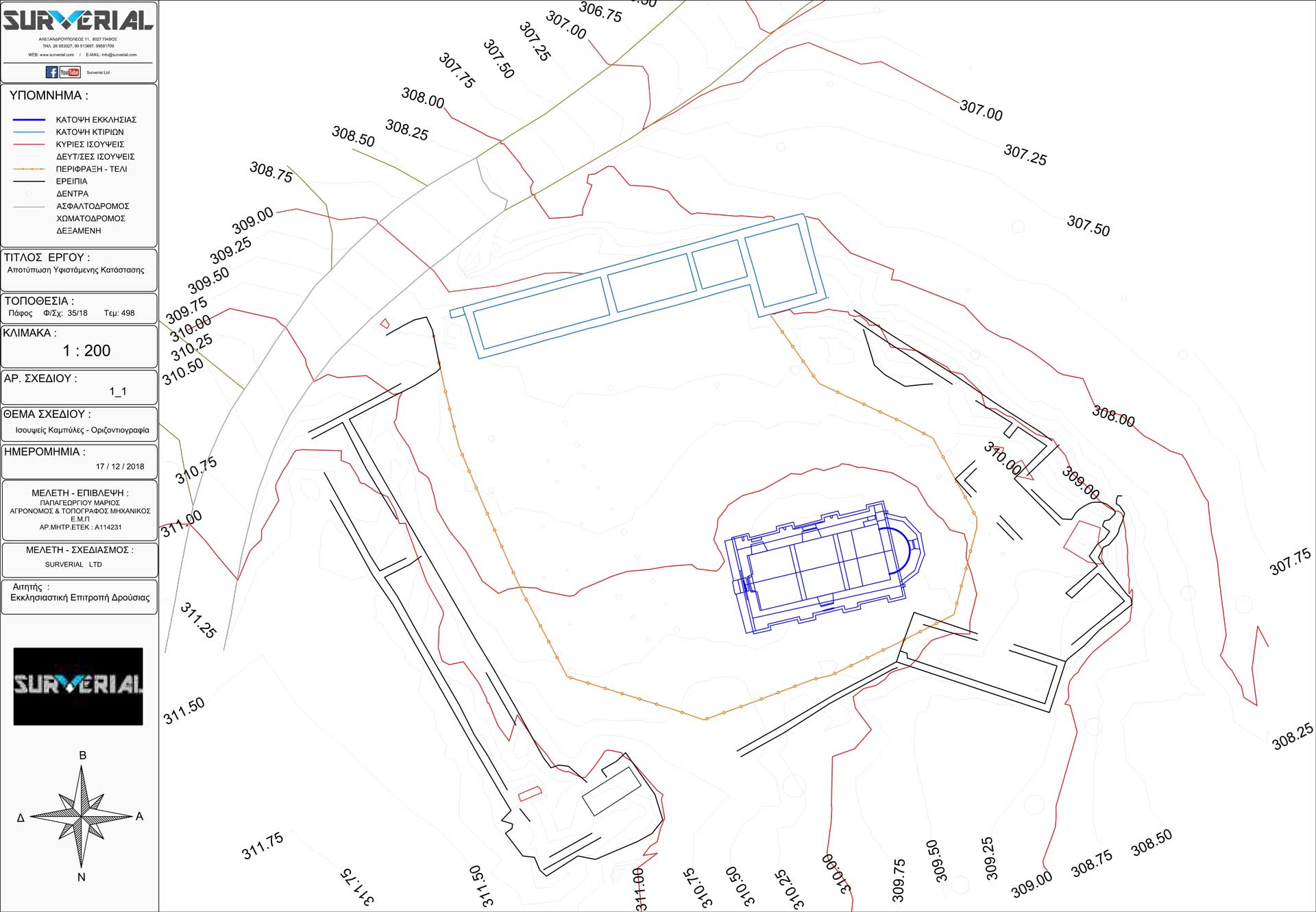
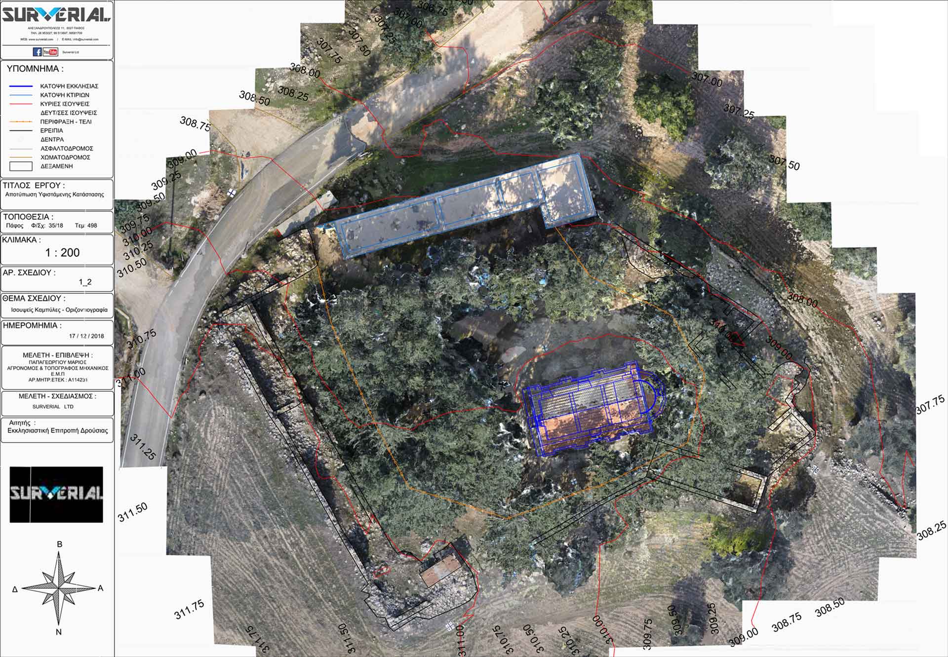
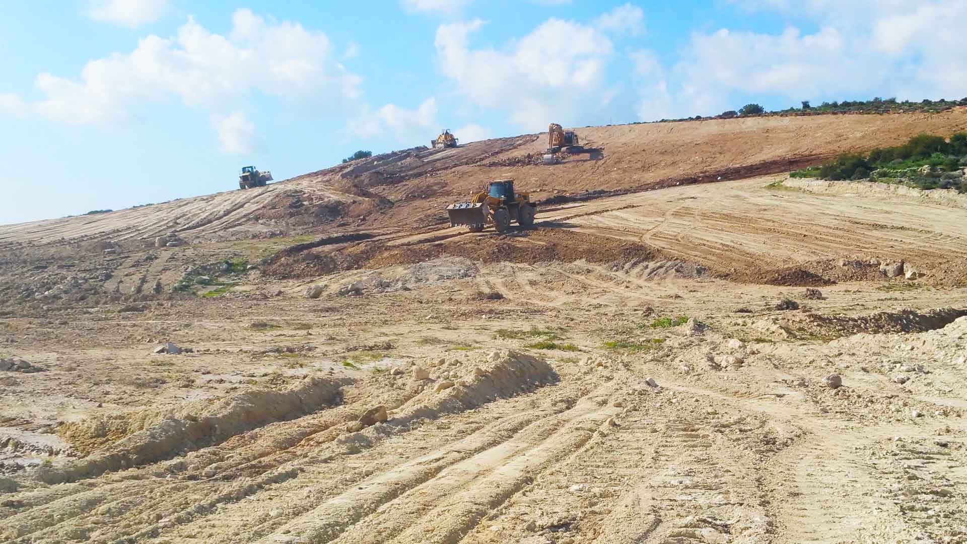
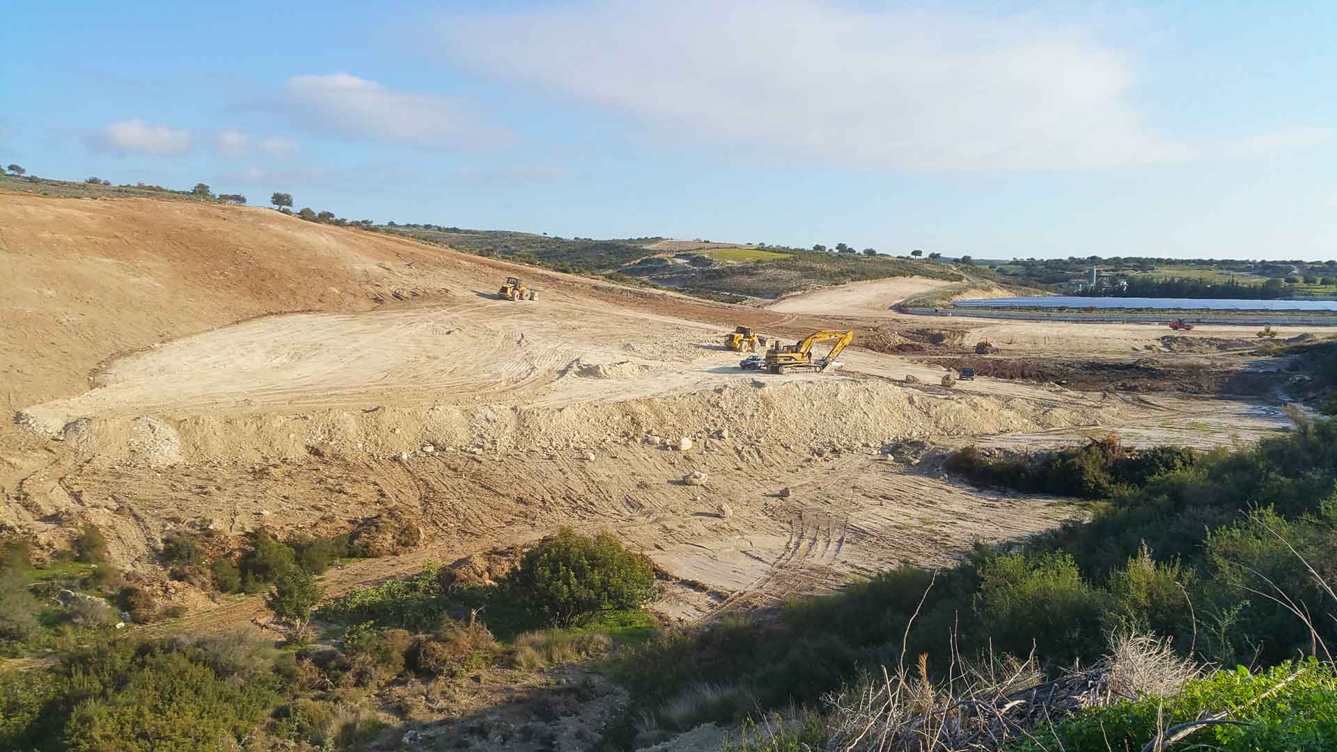
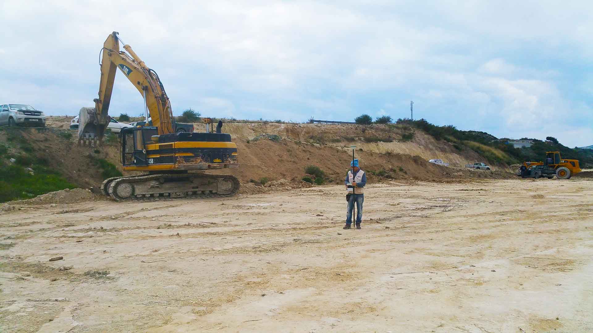
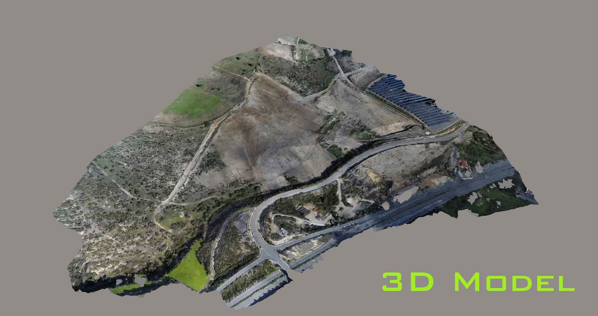
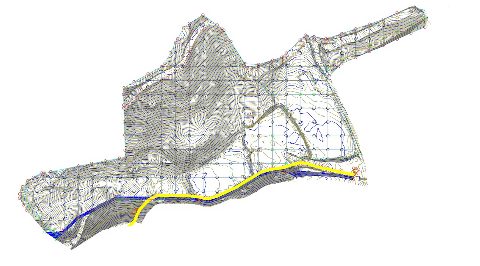
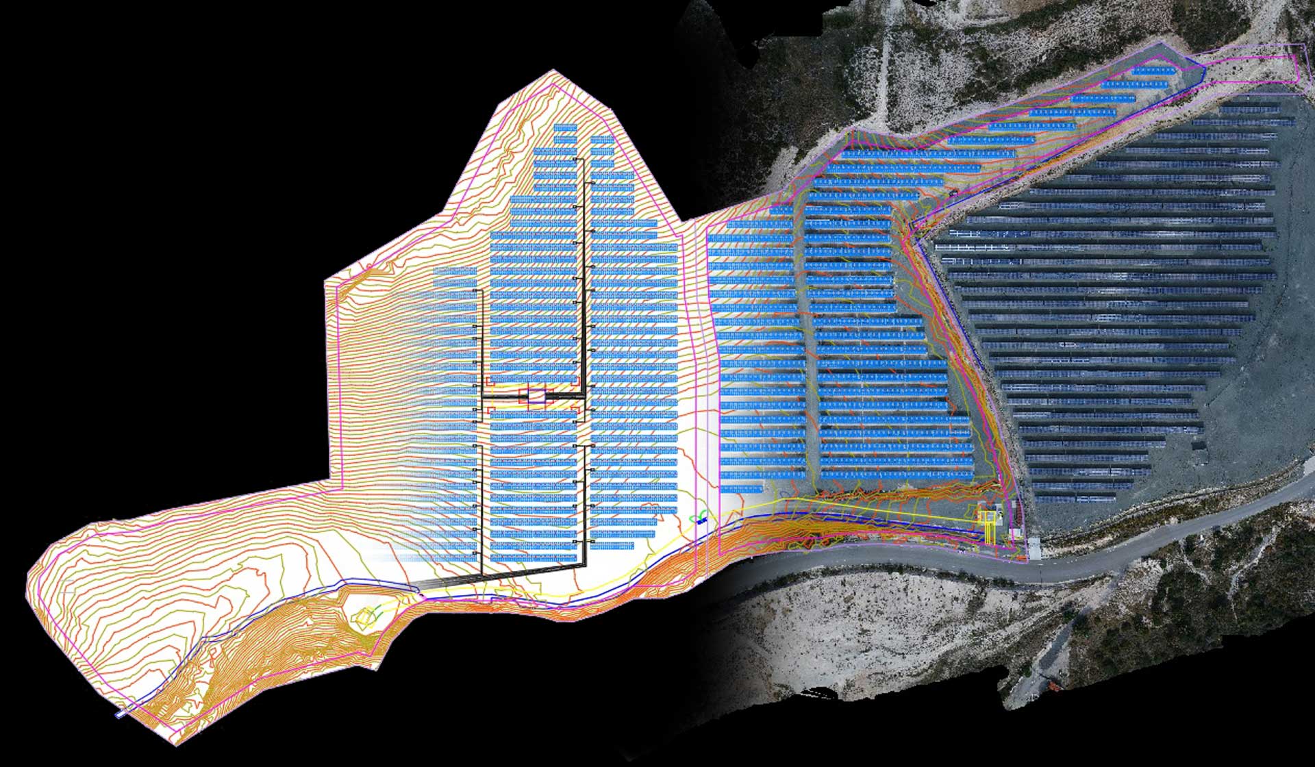
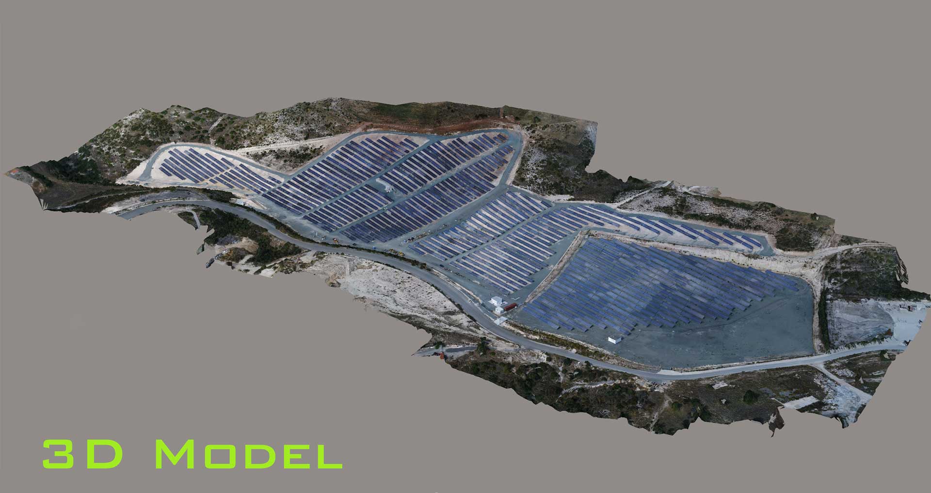
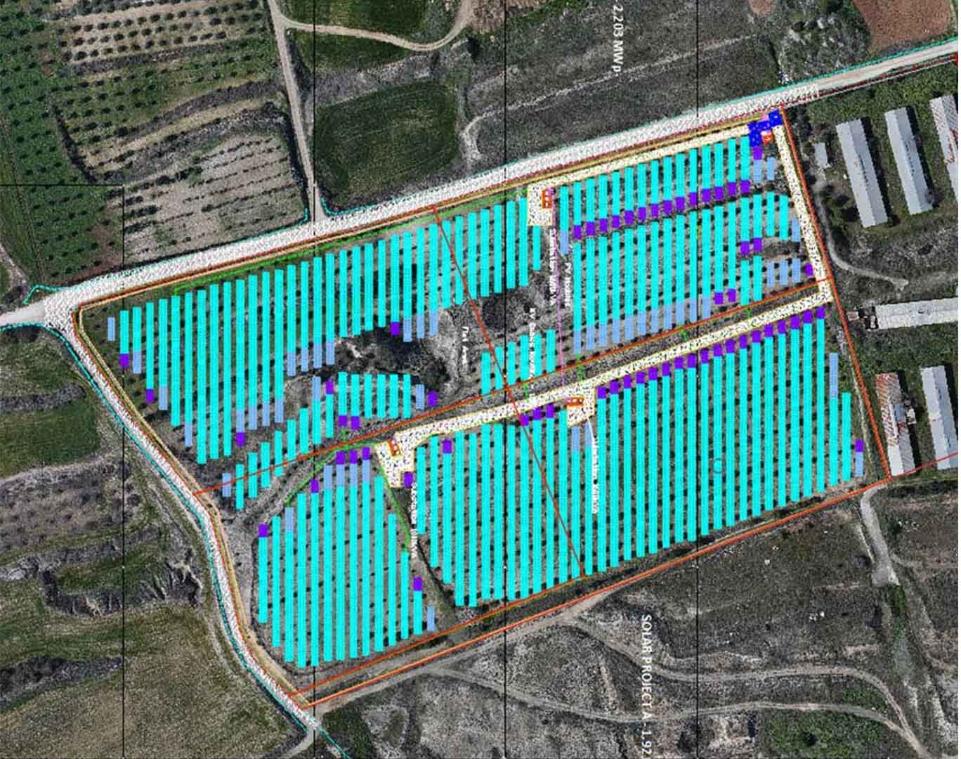
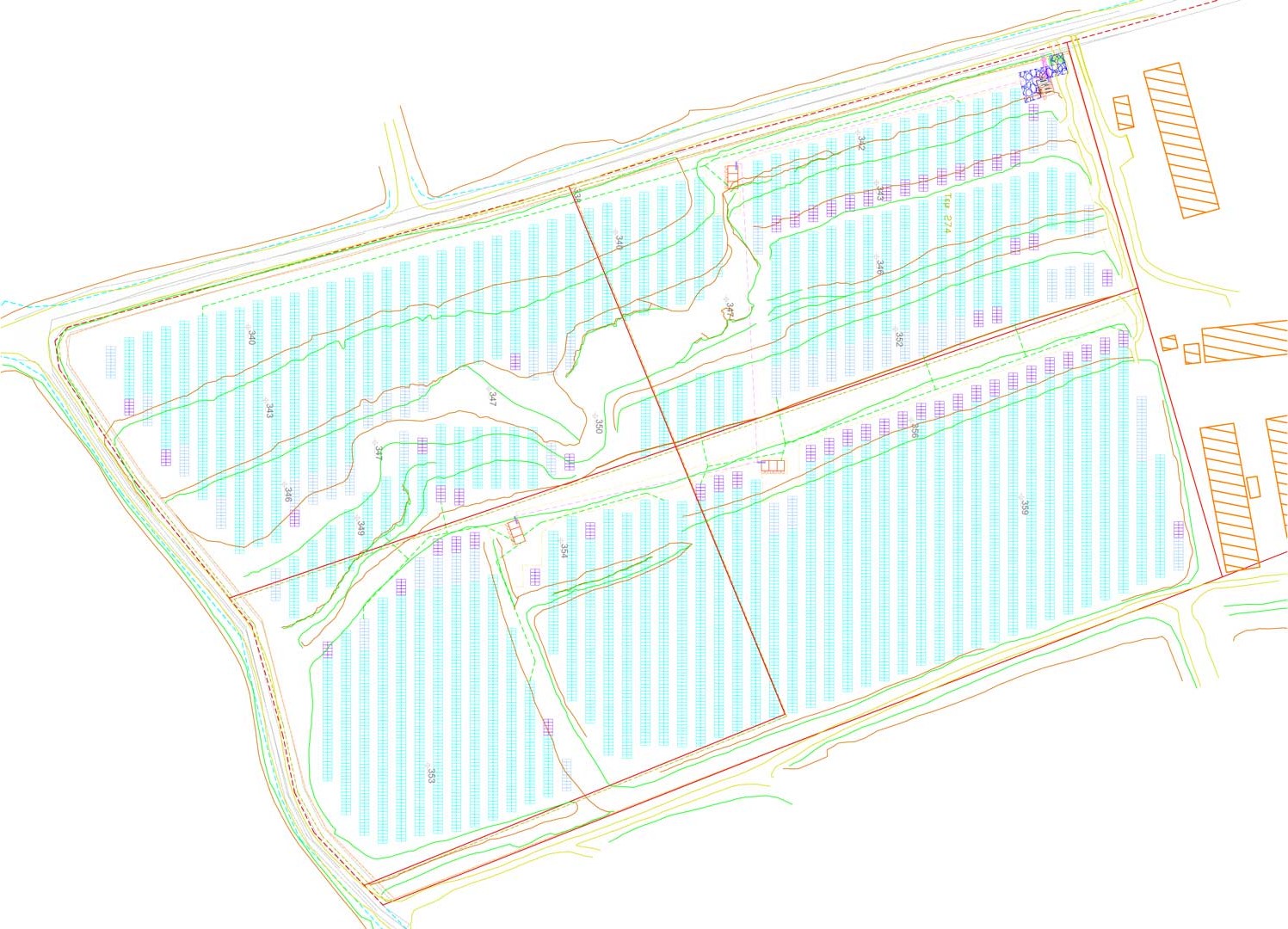
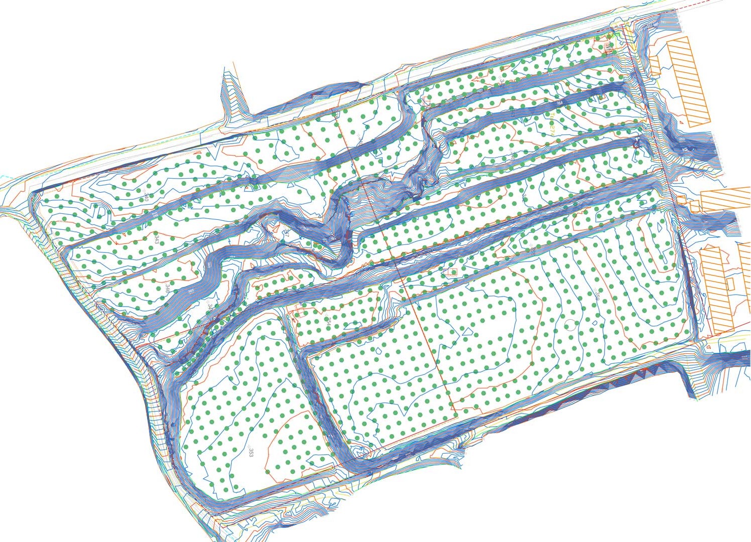
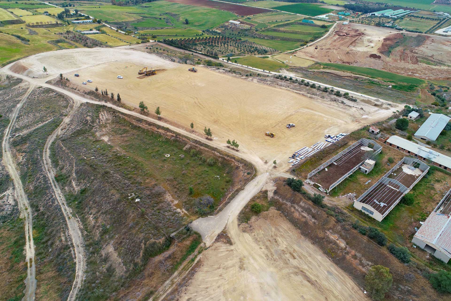
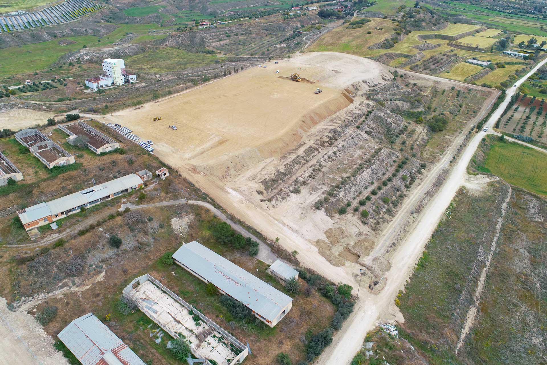
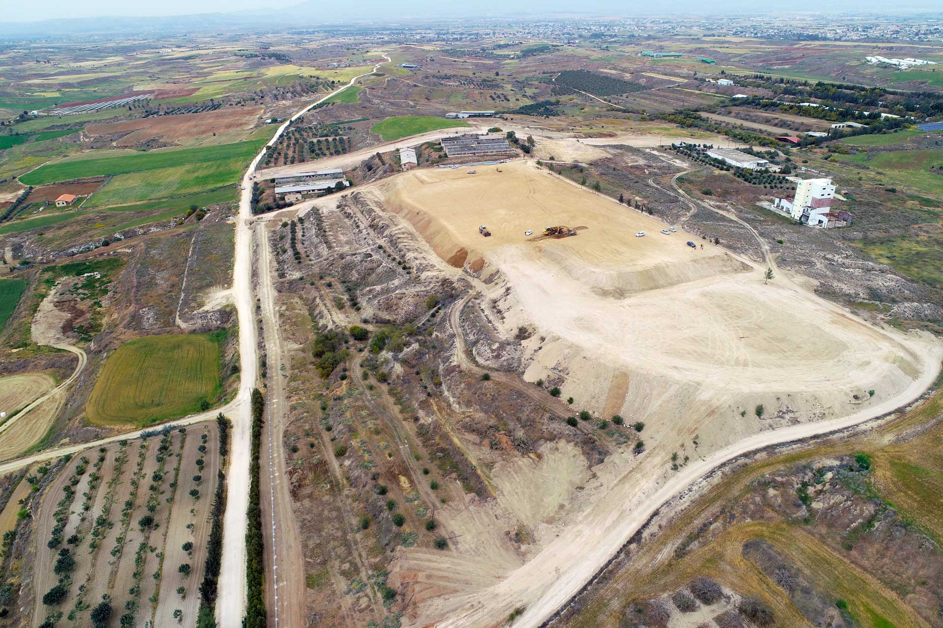
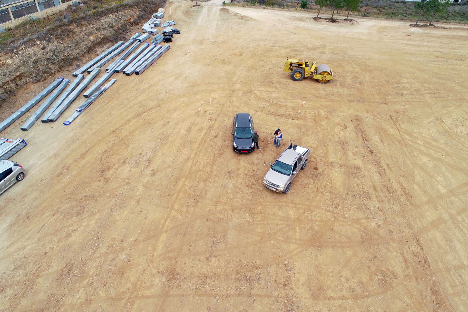
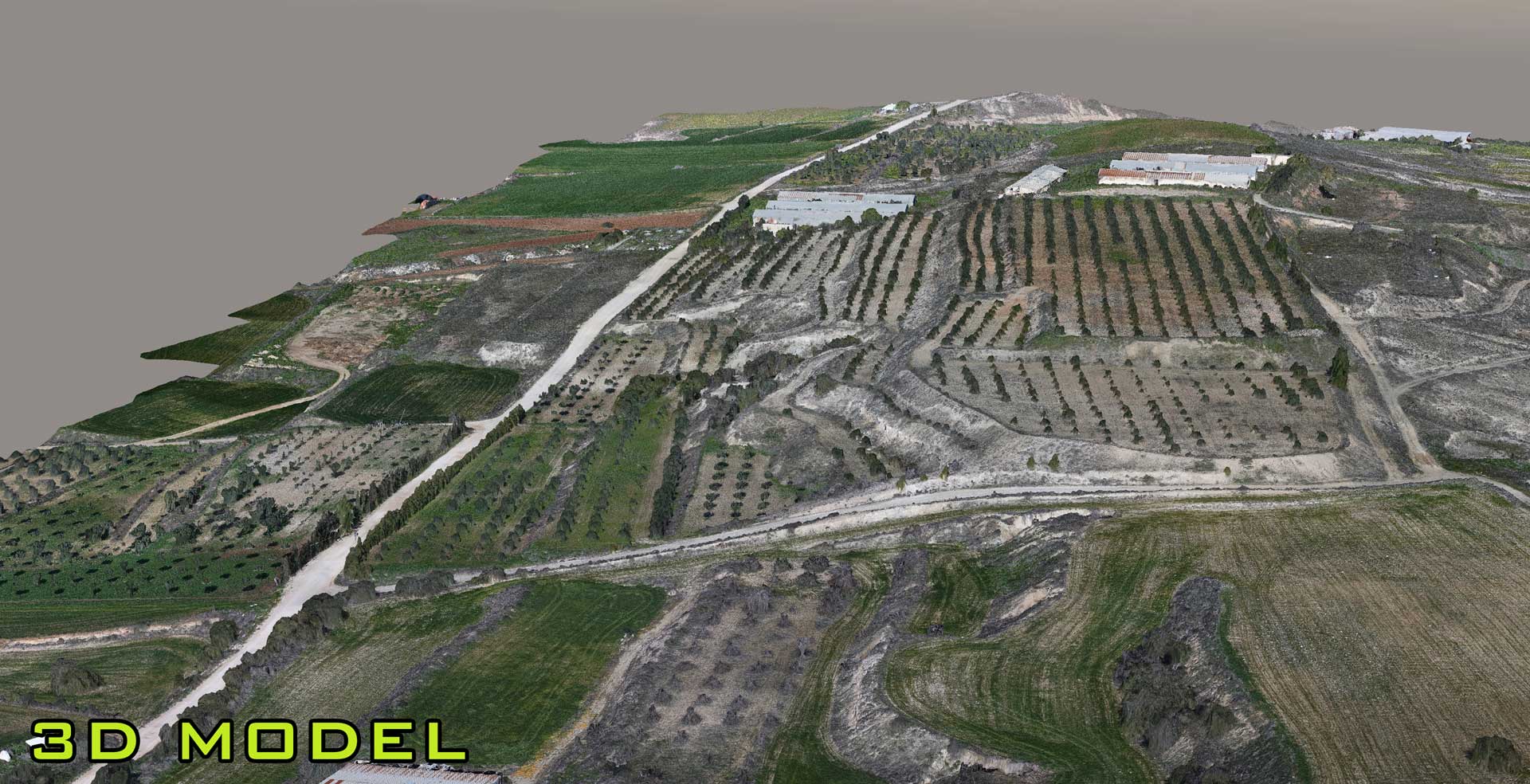
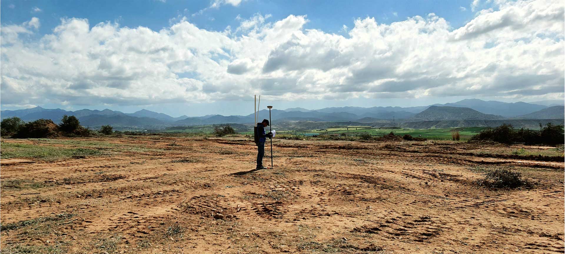
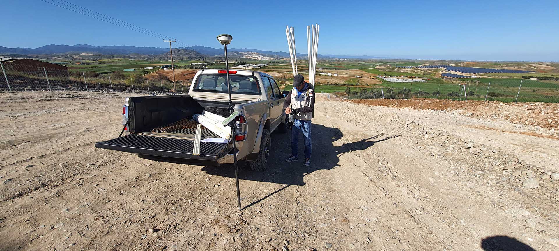
We carry out Aerial & Land Surveys services using Unmanned Aerial Vehicles (UAV), GNSS/GPS Surveying Systems and TPS. We provide high resolution True-Orthophotos, detailed Contour lines, quality DSM/DTM and accurate 2D & 3D mapping. We create 3D Photo-Realistic Models for engineering purposes, 3D Graphics Visualizations (CGI) and many more!
-
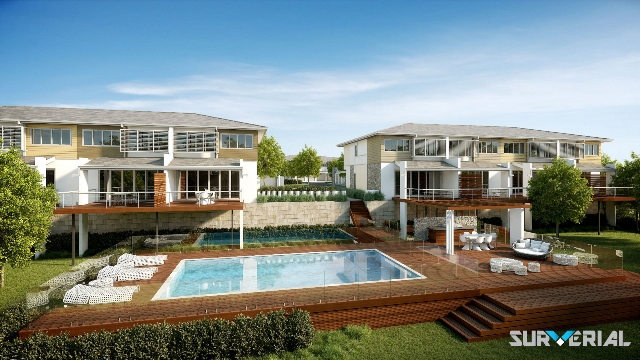
Developers & Real Estate
-
Engineers
-
Marketing & Advertising Companies
-
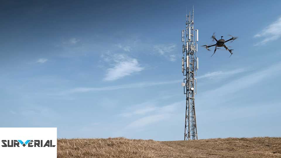
Telecommunication Companies
-
Government & Municipalities
-
3D Graphic Designer Companies
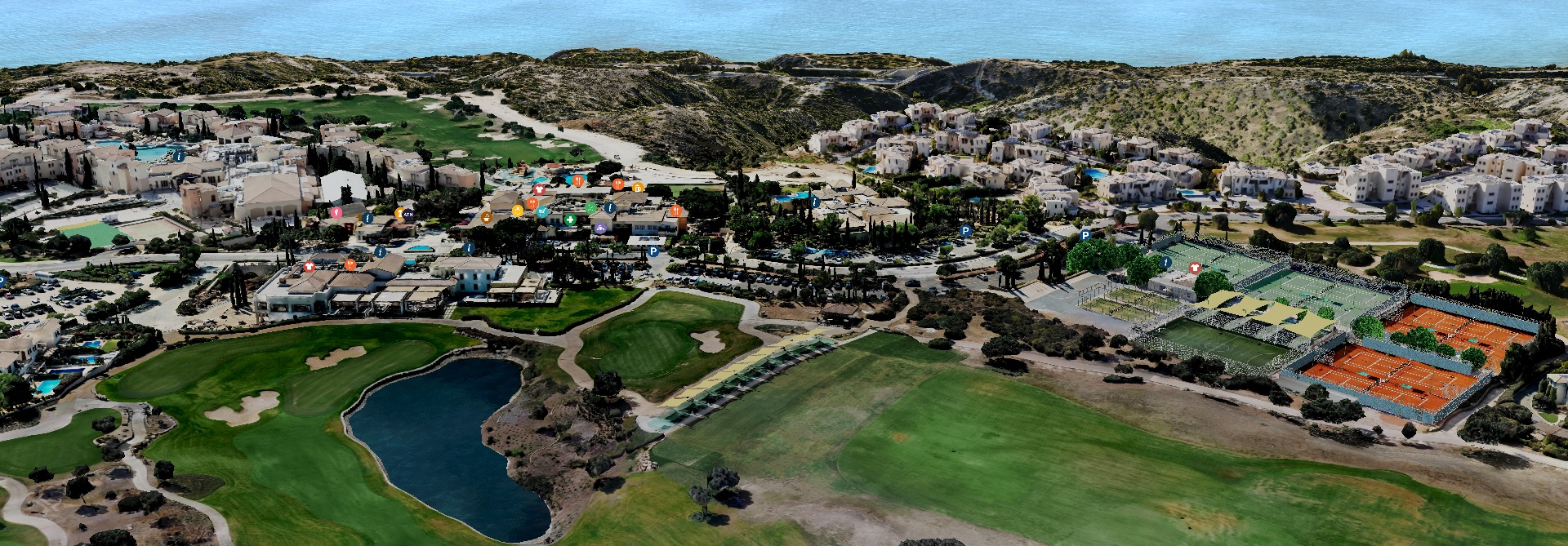
3D ONLINE MAP
PRODUCTS & SERVICES
Surverial provides safe, comprehensive, professional aerial mapping and True Ortho-PhotoImagery using UAV technologies and advanced image processing softwares. We believe in Quality and Quantity! Our metthods are very competitive with traditional surveys. Choosing our Services & Products you benefit in speed, safety, accuracy and resolution over traditional methods. Find out more by contacting us today!
True Orthophotos
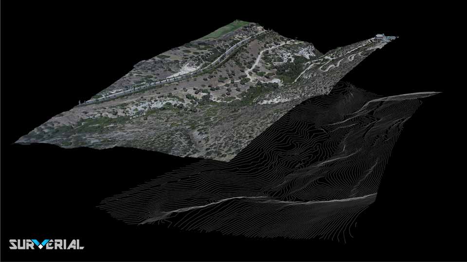
DEM & Contour Lines
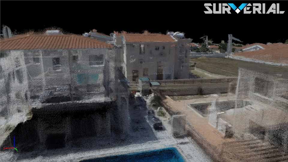
Dense Point Clouds
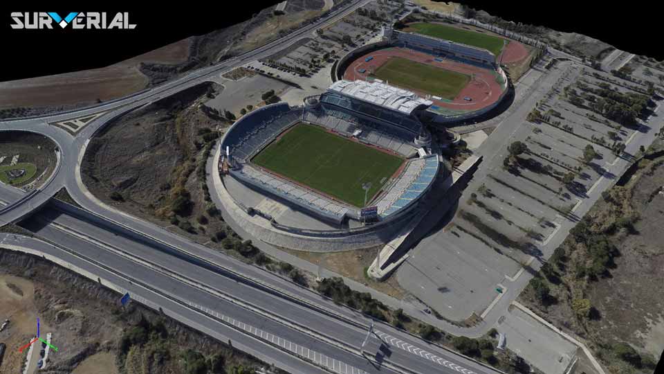
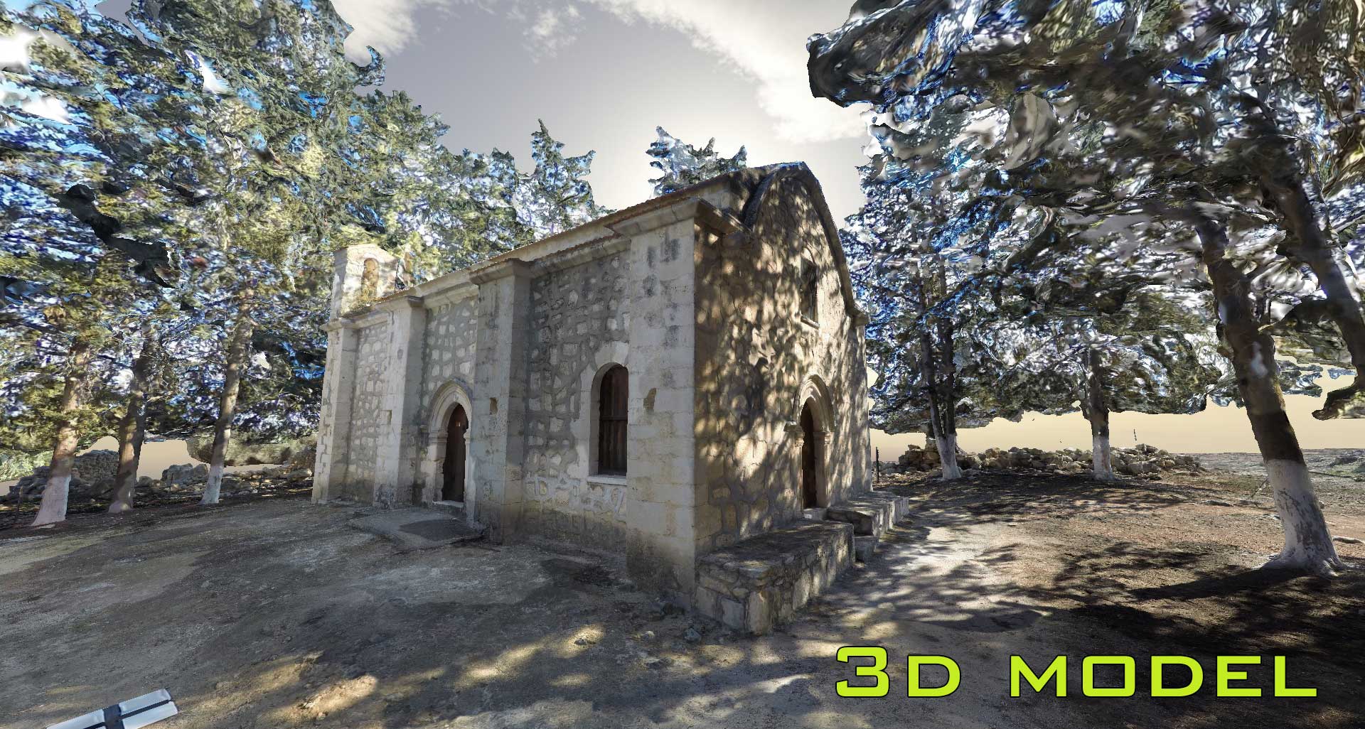
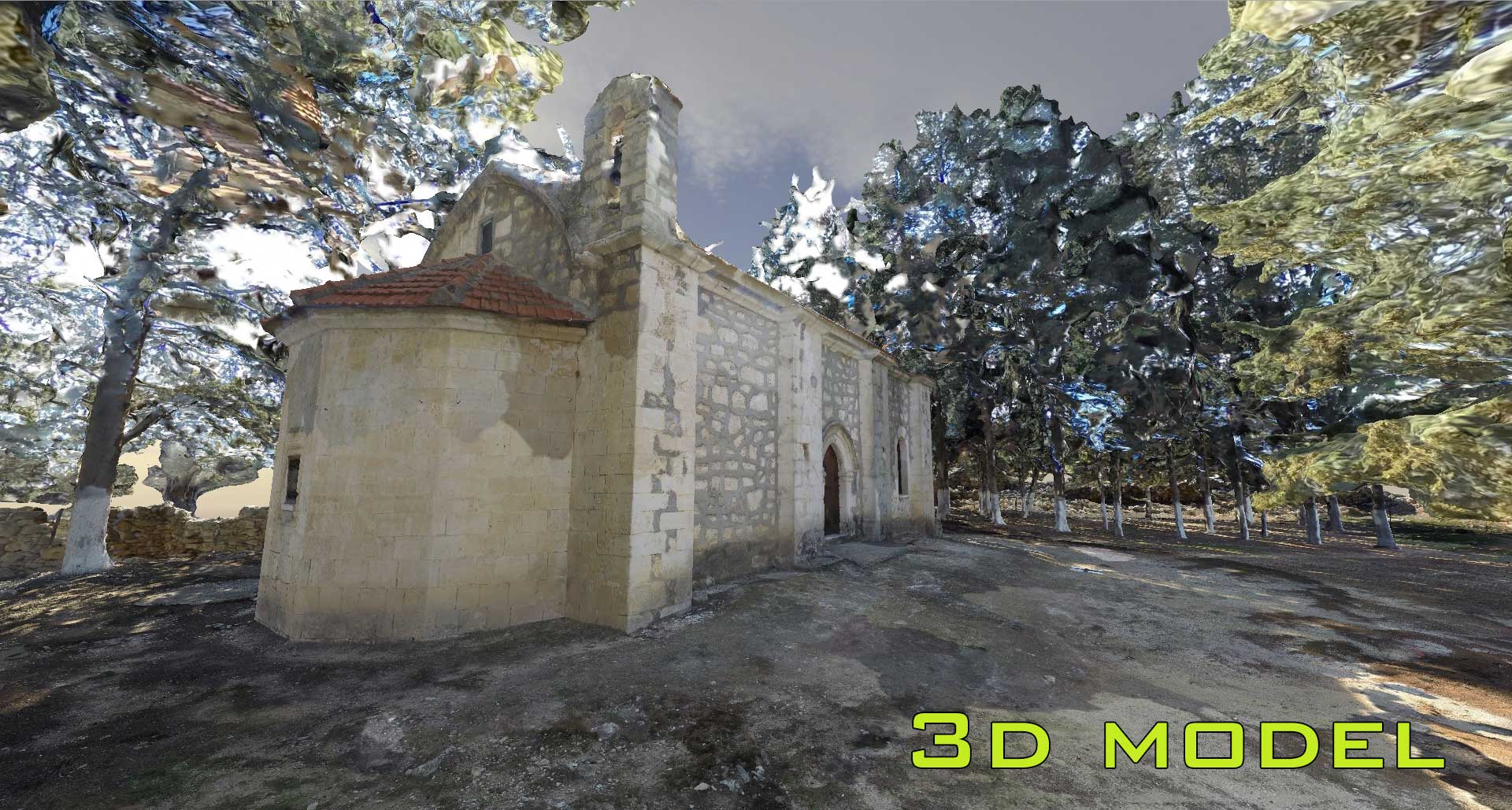
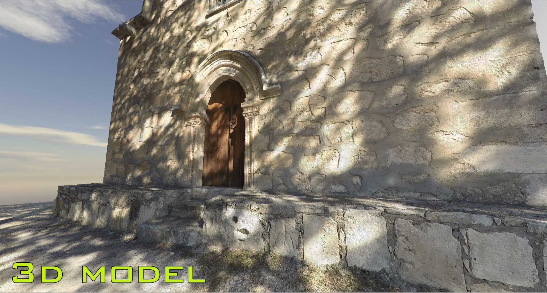
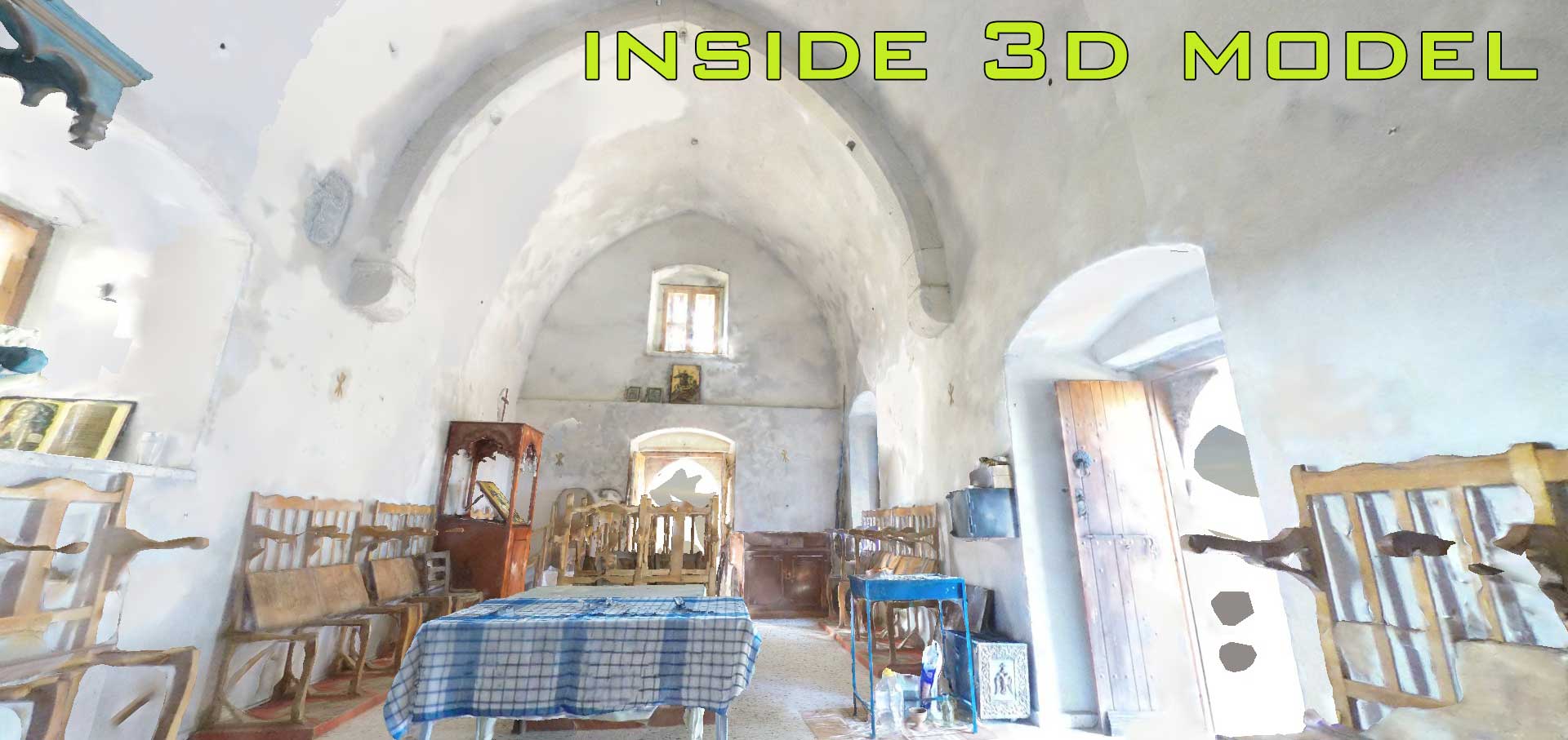
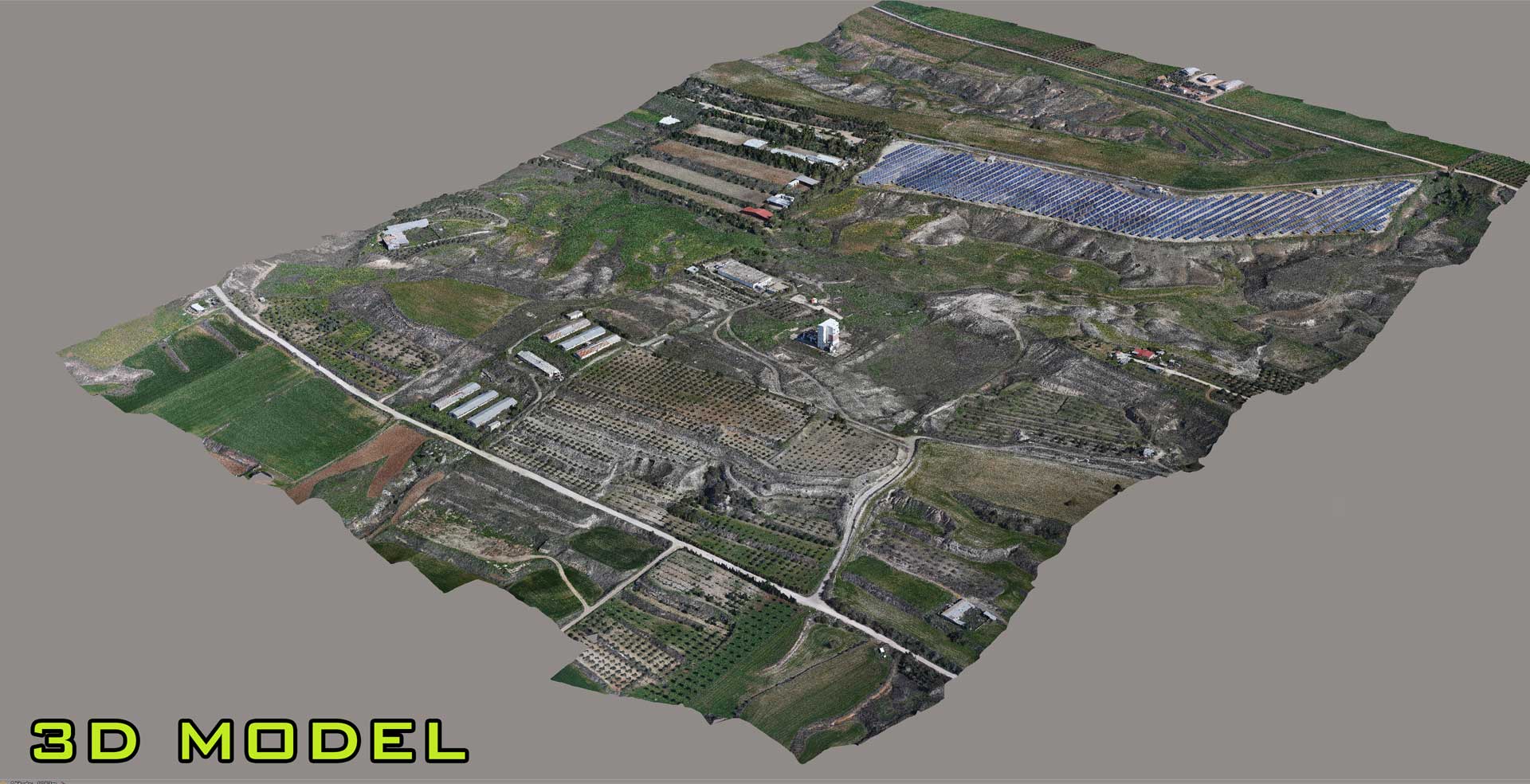
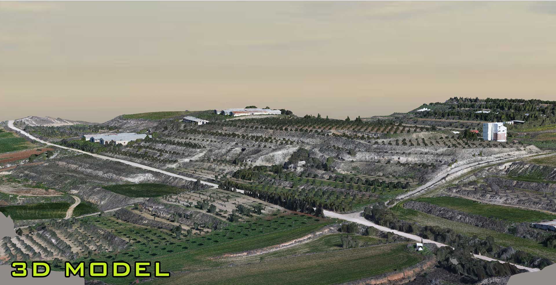
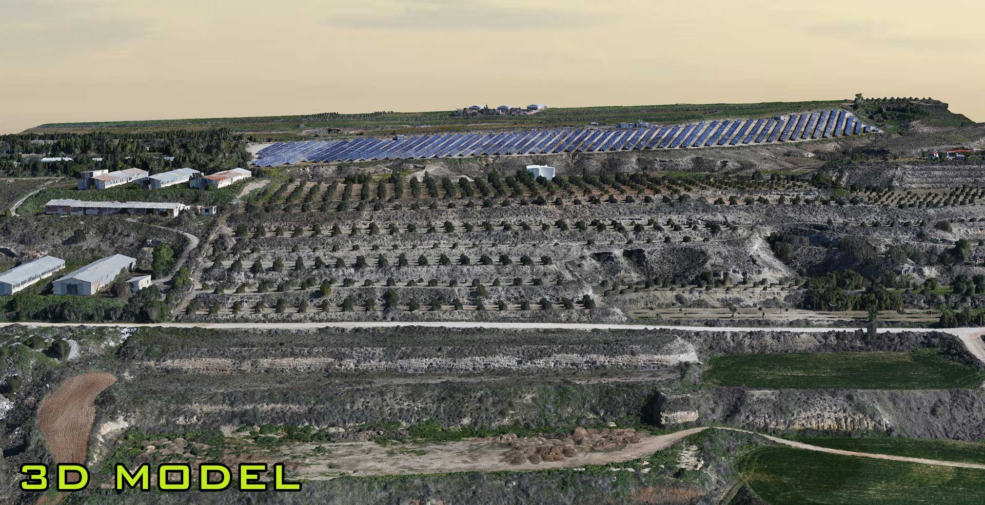
3D Photorelastic Models
2D/3D Mapping & GIS
Video – Images & Inspections
MARKETS & APPLICATIONS
-
Asset Management
-
Telecommunications
-
Energy & Mining
-
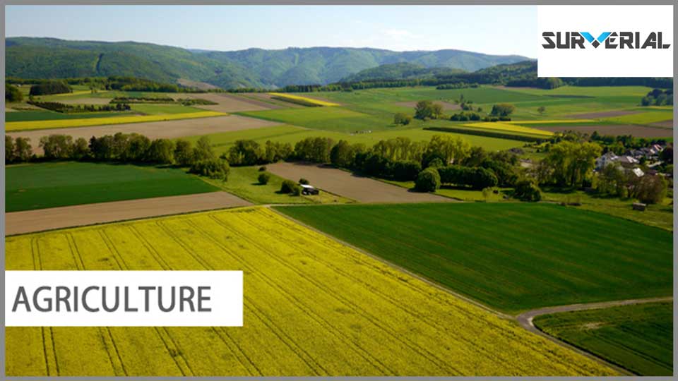
Agriculture
-
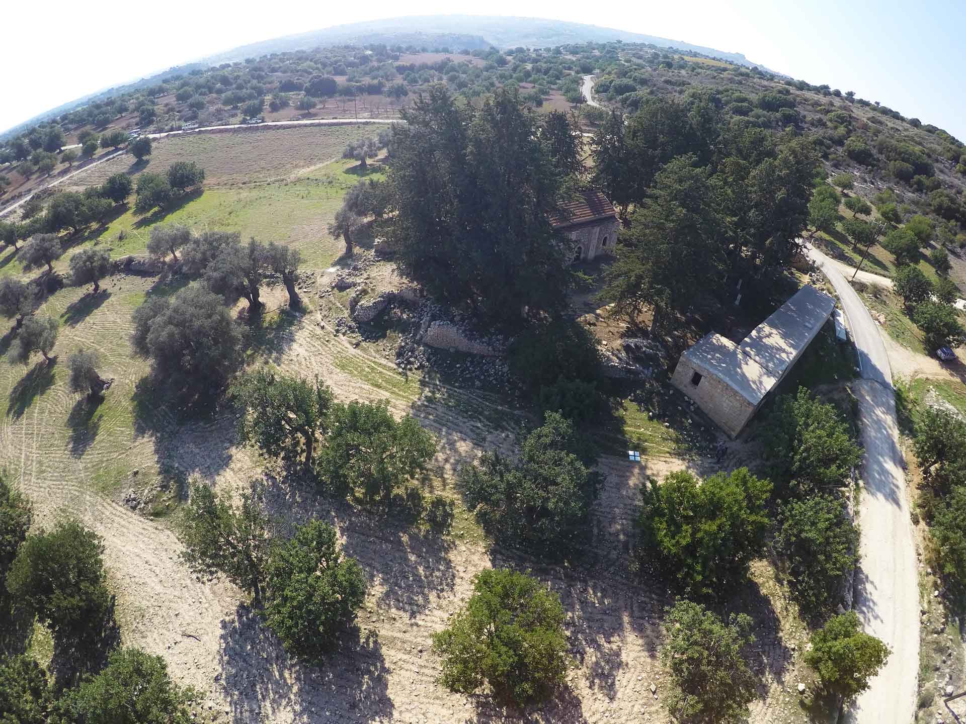
Archaeology
-
Advertising & Marketing
Projects
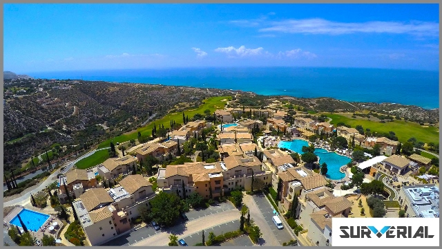
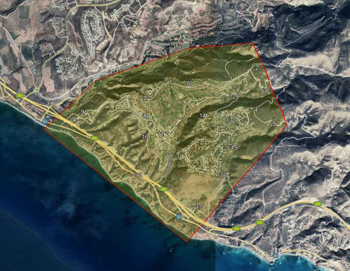
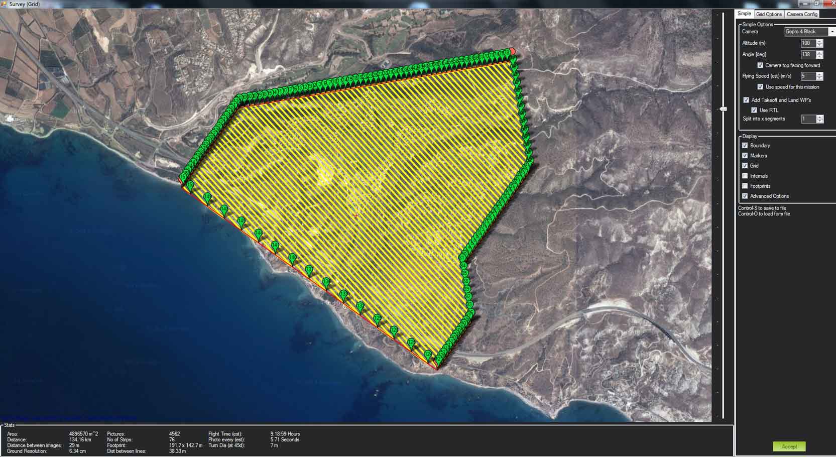
Aphrodite Hills 3D online map


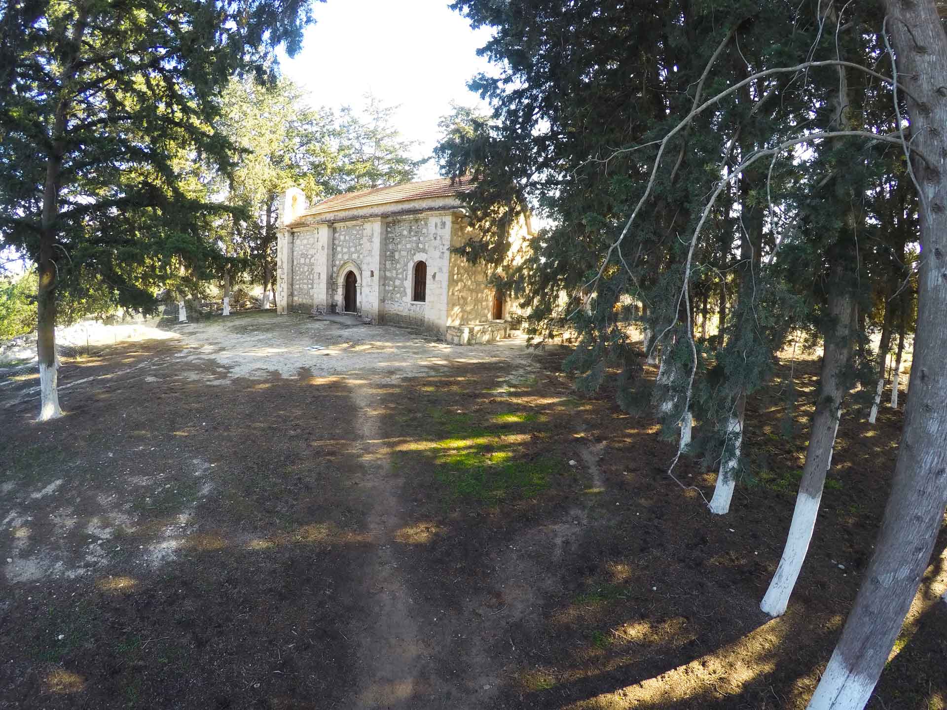
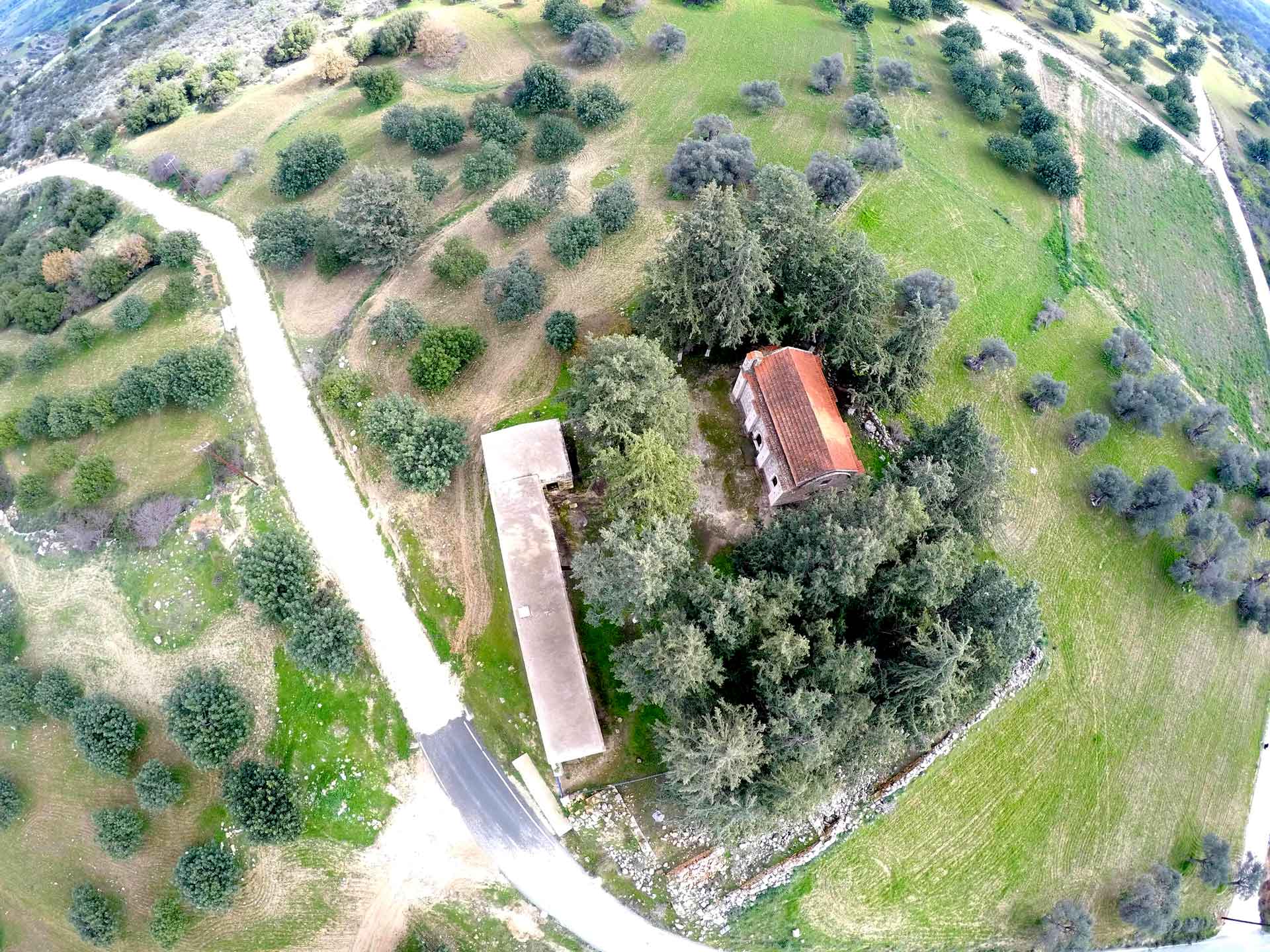
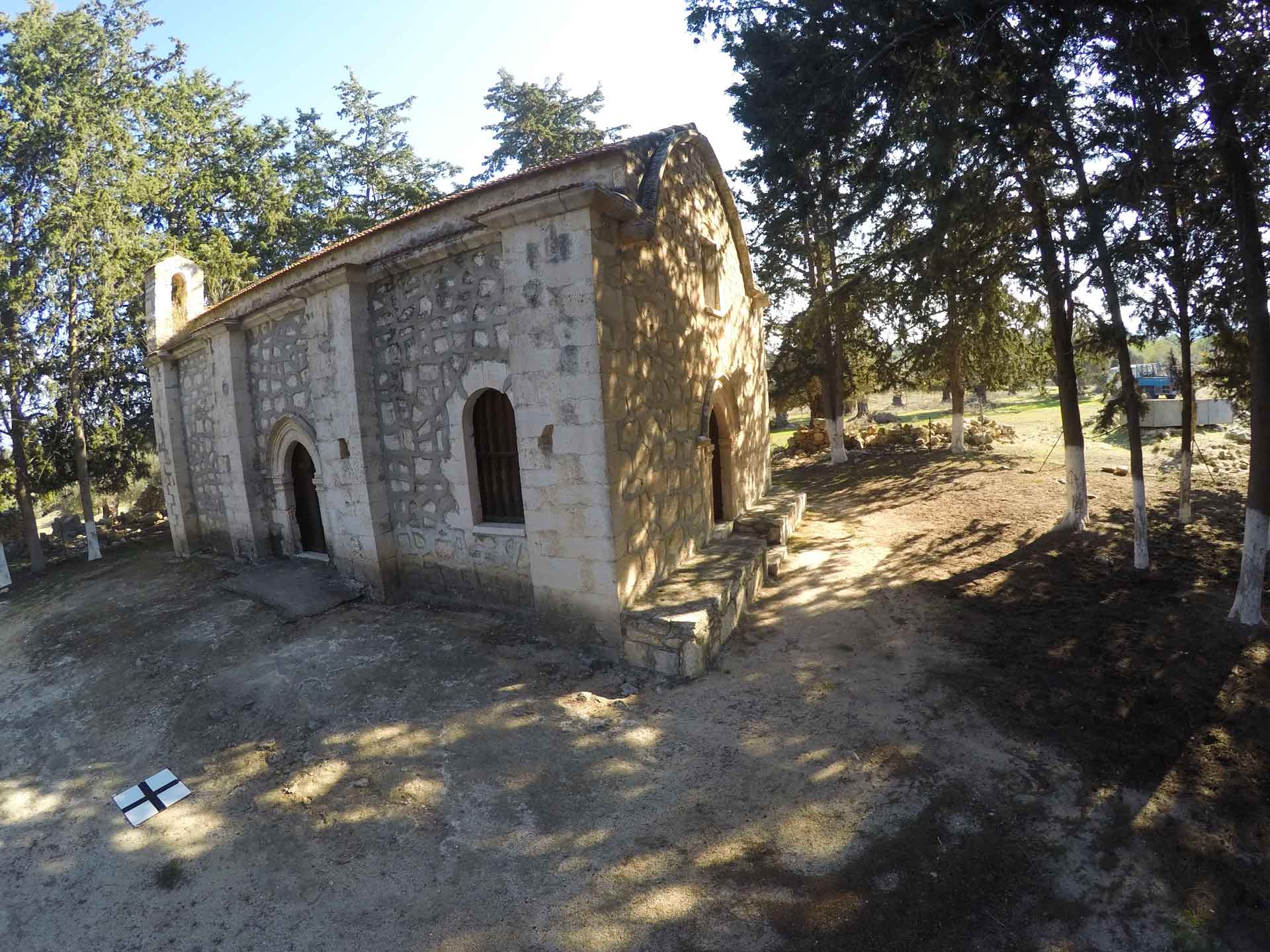
Agios Georgios Nikoxilitis
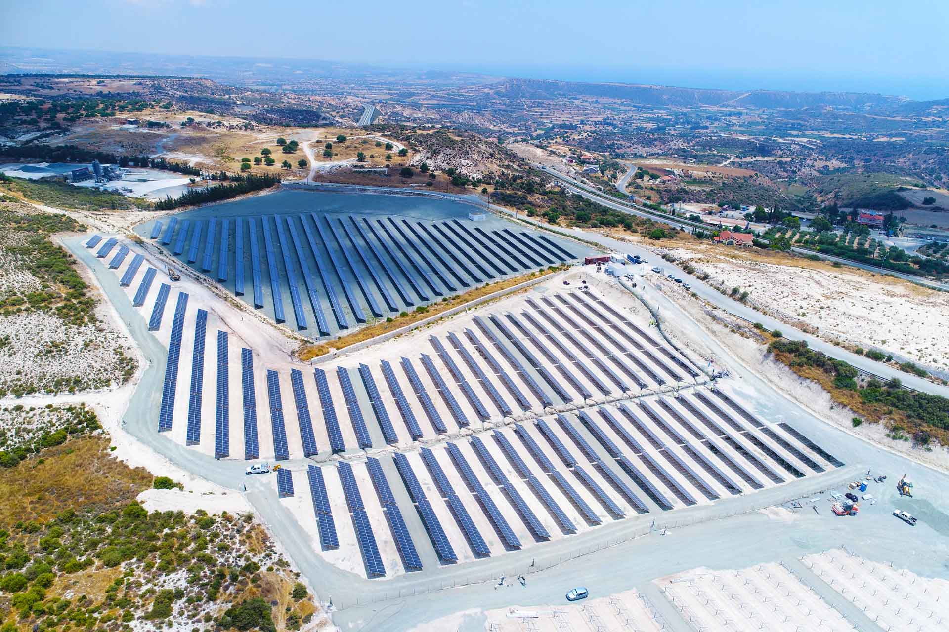
Pissouri Solar Park 4.5-MW
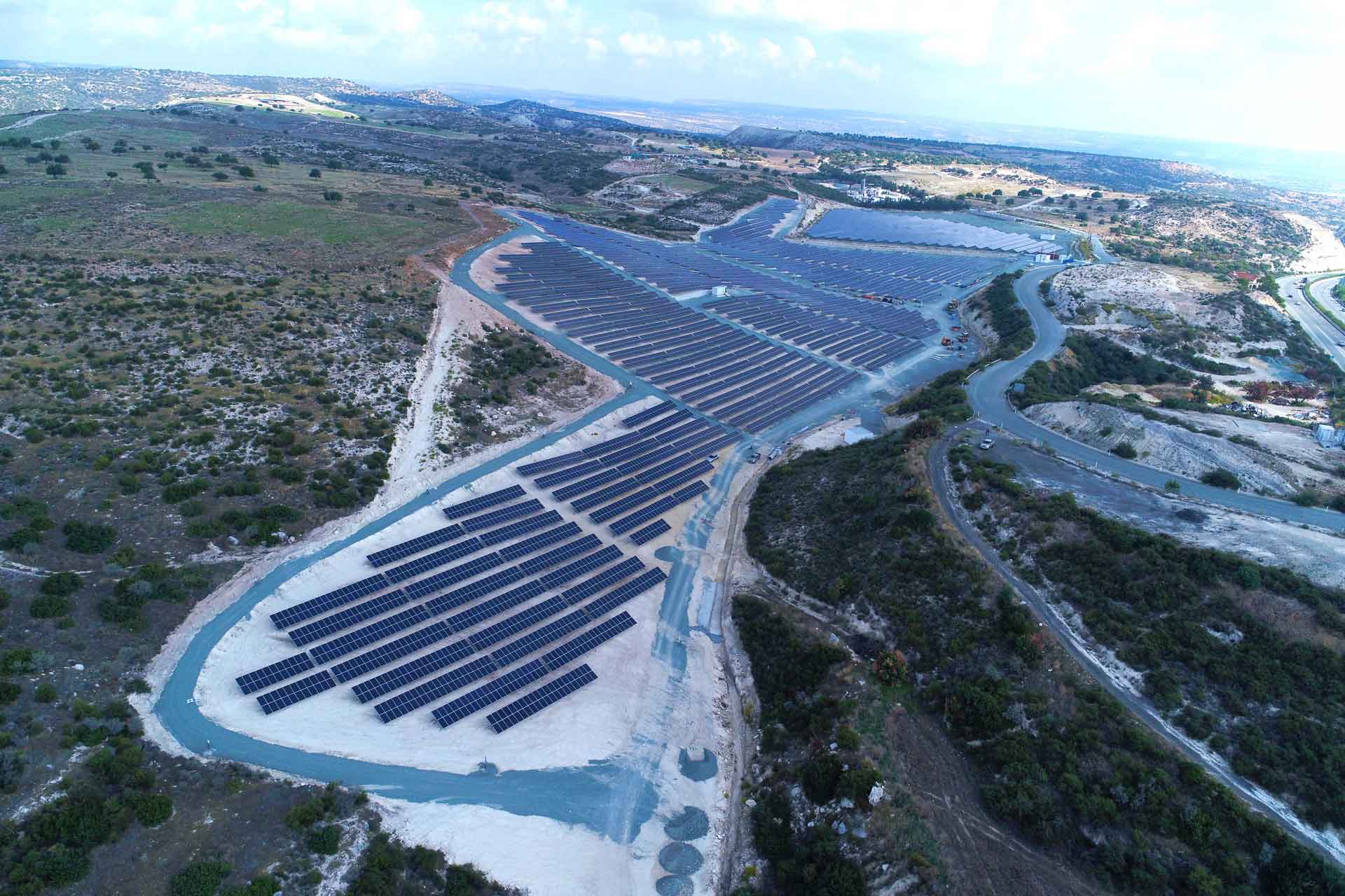
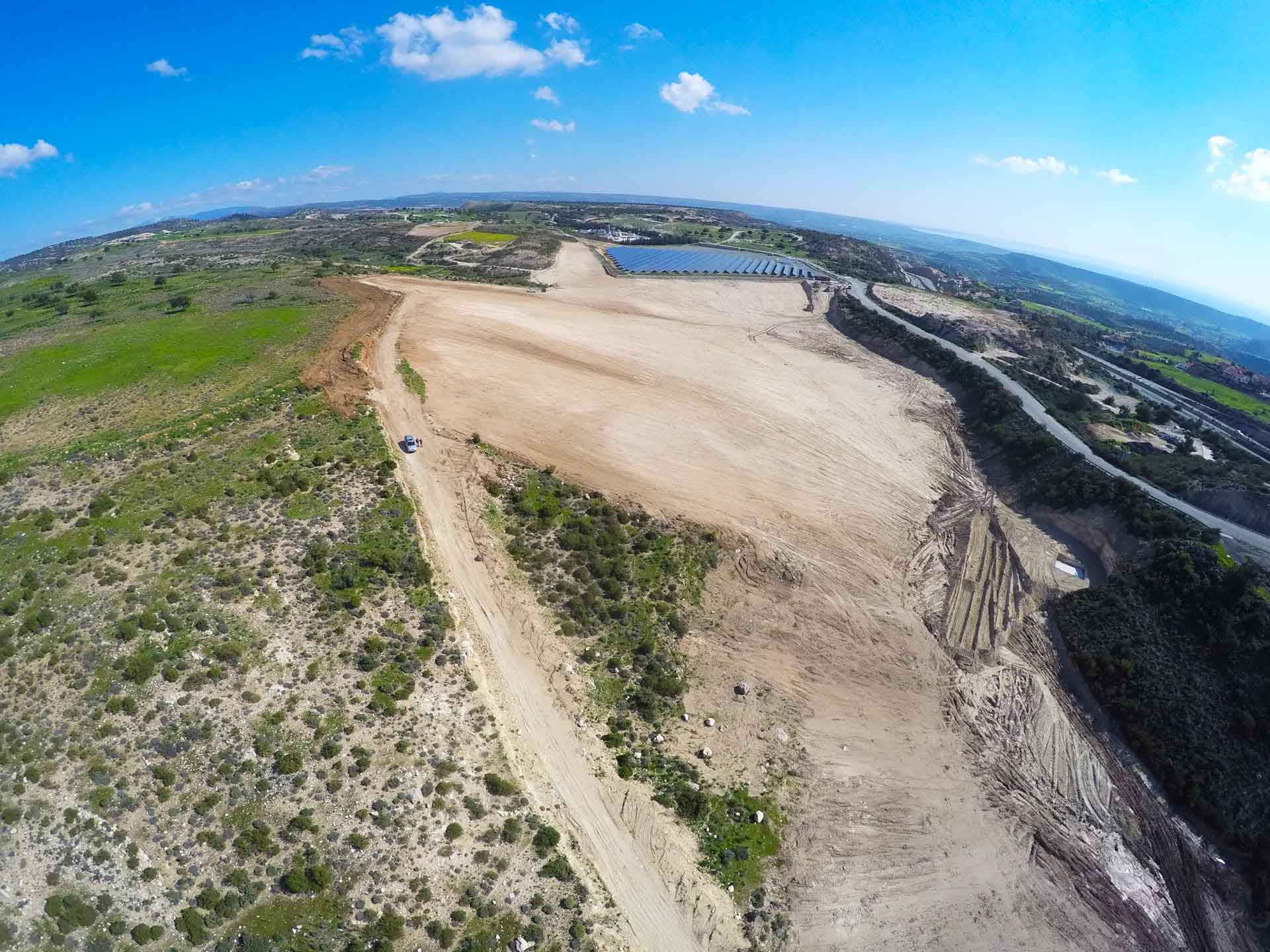
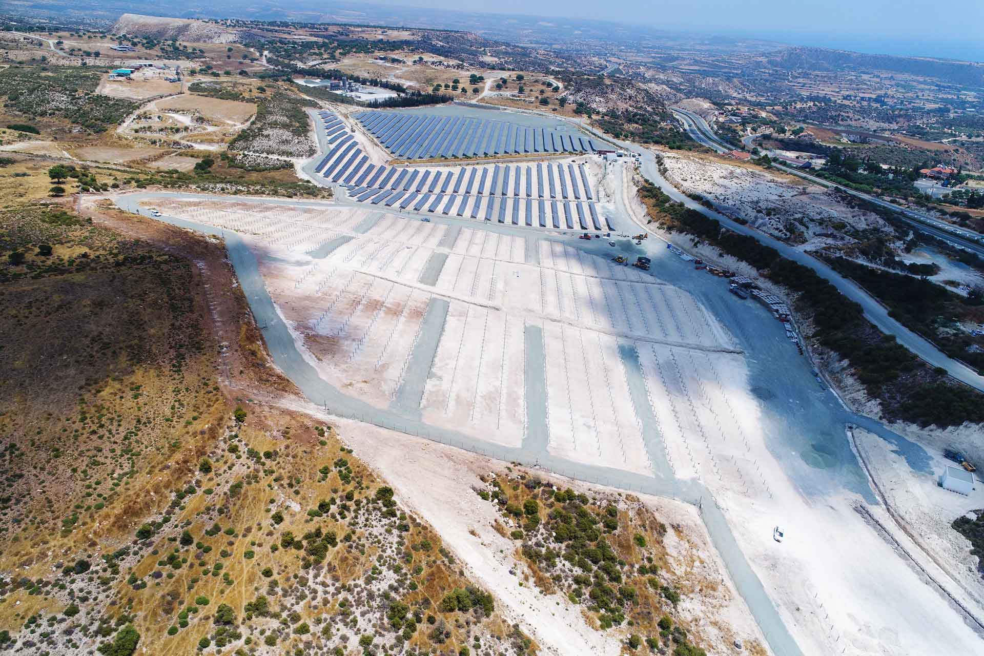
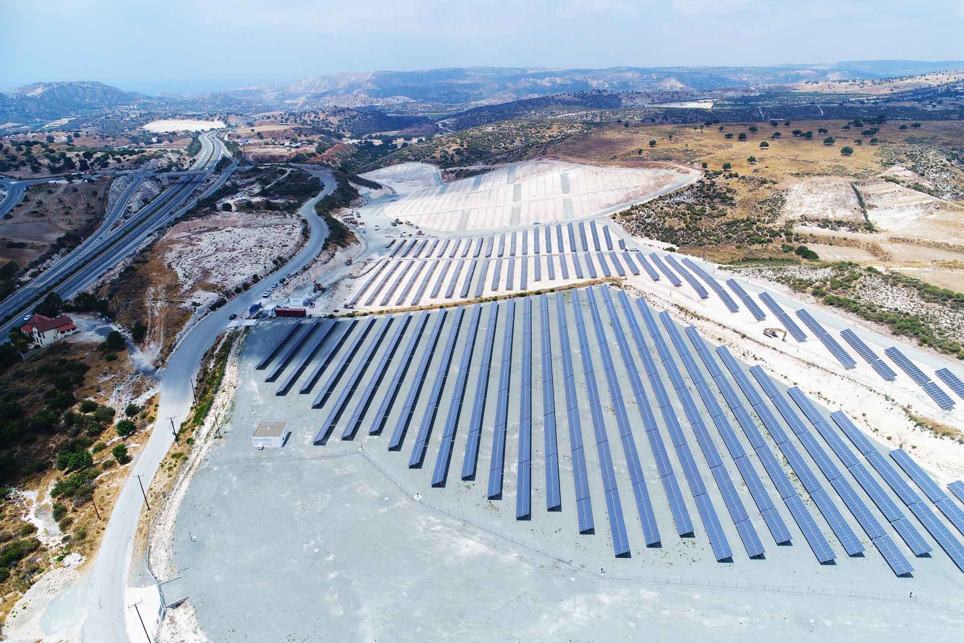
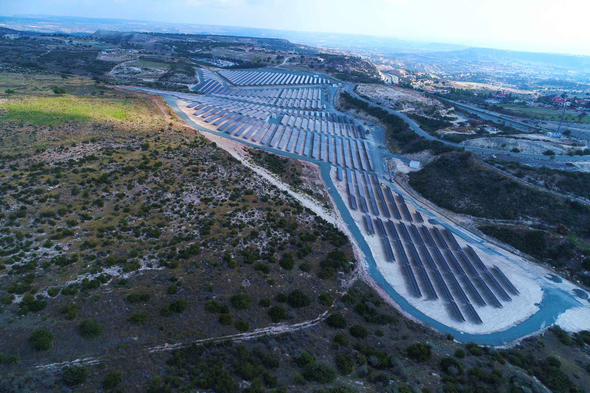
Solar Park 4.1-MW

Our Happy Clients